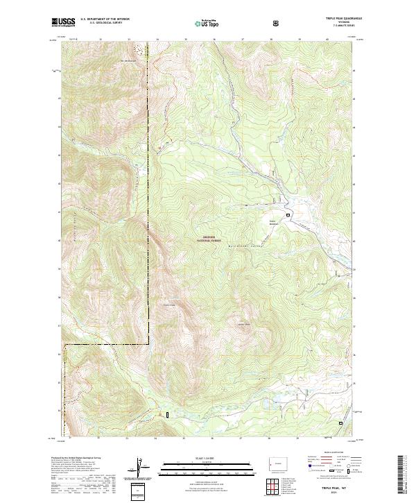
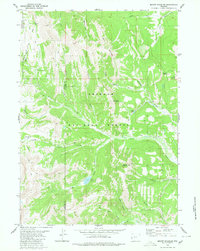
2021 Map of Triple Peak
USGS Topo · Published 2021About this map
High peaks of the Wyoming Range define this high-altitude landscape within the Bridger National Forest. The geography is centered on prominent summits like Triple Peak and Lander Peak, which serve as anchors for a complex drainage system feeding into S Cottonwood Cr and N Cottonwood Cr. The map reveals a high-country network of historic routes and paths, including the Old Indian Trl and the Wy Range Nat Rec Trl, which navigate through the McDougal Gap and across the Meridional Valley. These trails and the surrounding terrain, such as Foster Meadows, illustrate the enduring use of these mountain corridors for seasonal passage and resource management. The southeastern portion of the sheet is marked by the presence of Soda Lake, a distinct hydrologic feature at the base of the ridges.
Find a feature on this map
43 named features on this map. Tap any name to fly to it.
Don’t see what you’re looking for? This feature index may not catch every label — zoom into the map to look around manually.
Map Details
Editions of this 2021 Triple Peak Map
This is the sole edition of this map. No revisions or reprints were ever made.
Other maps of this area

1921 · Afton
USGS Topo · 1:125,000

1939 · Big Piney
USGS Topo · 1:125,000

1942 · Big Piney
USGS Topo · 1:125,000

1955 · Preston
USGS Topo · 1:250,000

1958 · Preston
USGS Topo · 1:250,000

1962 · Preston
USGS Topo · 1:250,000
1980 · Red Castle Creek
USGS Topo · 1:24,000
1980 · Blind Bull Creek
USGS Topo · 1:24,000
1980 · Triple Peak
USGS Topo · 1:24,000
1980 · Mount Schidler
USGS Topo · 1:24,000