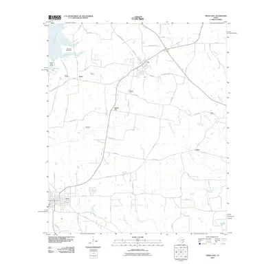
2010 Map of Troup East
USGS Topo · Published 2010About this map
Troup and Arp anchor this East Texas landscape, where the irregular shoreline of Lake Tyler East meets a network of country roads and creek drainages. The influence of the petroleum industry is evident at the Good Omen Oil Field and the settlement of Sinclair City, highlighting the region's energy-based economy. Waterways like Kickapoo Creek and Henson Creek carve through the terrain, while the Twin Bay Peninsula and Grand View Point define the recreational and residential character of the lakeshore.
Find a feature on this map
72 named features on this map. Tap any name to fly to it.
Don’t see what you’re looking for? This feature index may not catch every label — zoom into the map to look around manually.
Map Details
Editions of this 2010 Troup East Map
This is the sole edition of this map. No revisions or reprints were ever made.
Other maps of this area

1935 · Henderson
USGS Topo · 1:48,000

1936 · Kilgore
USGS Topo · 1:48,000

1937 · Troupe
USGS Topo · 1:48,000

1938 · Winona
USGS Topo · 1:48,000

1939 · Henderson
USGS Topo · 1:62,500

1940 · Kilgore
USGS Topo · 1:62,500

1943 · Troup
USGS Topo · 1:62,500

1943 · Winona
USGS Topo · 1:62,500

1956 · Tyler
USGS Topo · 1:250,000

1966 · Hope Pond
USGS Topo · 1:24,000