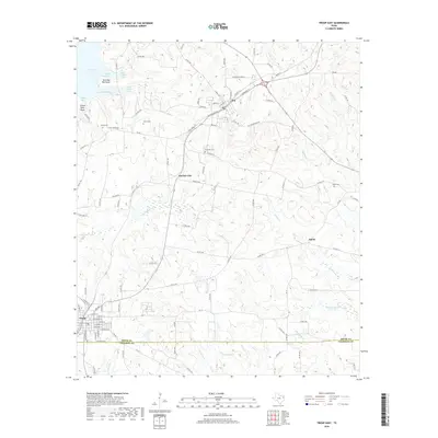
2019 Map of Troup East
USGS Topo · Published 2019About this map
Troup and Arp anchor the southern and northern reaches of this East Texas survey, where the Smith County and Cherokee County line intersects the landscape. The region is defined by a dense network of local roads and watercourses, including Kickapoo Cr and Beaver Run. For genealogists, the map is particularly valuable for its clear marking of several historic burial grounds, such as Shiloh Cem, Elkins Cem, Ebenezer Cem, and Salem Cem.
Find a feature on this map
109 named features on this map. Tap any name to fly to it.
Don’t see what you’re looking for? This feature index may not catch every label — zoom into the map to look around manually.
Map Details
Editions of this 2019 Troup East Map
This is the sole edition of this map. No revisions or reprints were ever made.
Other maps of this area

1935 · Henderson
USGS Topo · 1:48,000

1936 · Kilgore
USGS Topo · 1:48,000

1937 · Troupe
USGS Topo · 1:48,000

1938 · Winona
USGS Topo · 1:48,000

1939 · Henderson
USGS Topo · 1:62,500

1940 · Kilgore
USGS Topo · 1:62,500

1943 · Troup
USGS Topo · 1:62,500

1943 · Winona
USGS Topo · 1:62,500

1956 · Tyler
USGS Topo · 1:250,000

1966 · Hope Pond
USGS Topo · 1:24,000