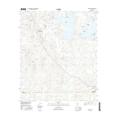
2016 Map of Troup West
USGS Topo · Published 2016About this map
Whitehouse anchors the upper reaches of this East Texas terrain, which transitions from the residential streets of the town into a landscape defined by the intricate shoreline of Lake Tyler. The map shows how the eastern half of the area is dominated by the reservoir's complex geography, featuring numerous named coves and points like Arterberry Cove, Catfish Bay, and Windy Peninsula. This water-centric development contrasts with the traditional rural patterns found to the south, where the boundary between Smith Co and Cherokee Co cuts through timber and farmland near Troup. Genealogists will find several burial grounds documented throughout the quadrangle, including Pinecrest Cem, Walnut Grove Cem, and Smith Cem, offering points of reference for local family histories near watercourses such as Mud Cr and Kickapoo Cr.
Find a feature on this map
158 named features on this map. Tap any name to fly to it.
Don’t see what you’re looking for? This feature index may not catch every label — zoom into the map to look around manually.
Map Details
Editions of this 2016 Troup West Map
This is the sole edition of this map. No revisions or reprints were ever made.
Other maps of this area

1937 · Troupe
USGS Topo · 1:48,000

1938 · Winona
USGS Topo · 1:48,000

1943 · Troup
USGS Topo · 1:62,500

1943 · Winona
USGS Topo · 1:62,500

1946 · Bullard
USGS Topo · 1:62,500

1948 · Bullard
USGS Topo · 1:62,500

1948 · Tyler
USGS Topo · 1:62,500

1949 · Tyler
USGS Topo · 1:62,500

1956 · Tyler
USGS Topo · 1:250,000

1966 · Hope Pond
USGS Topo · 1:24,000