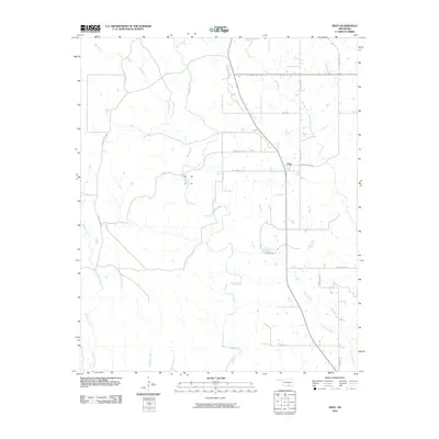
2010 Map of Troy
USGS Topo · Published 2010About this map
Troy stands at a central junction of rural roads in this modern study of Johnston County. The landscape is defined by an intricate network of waterways, with Mill Creek winding through the center of the quadrangle, joined by smaller tributaries like Bee Branch and Rock Creek. These stream systems have historically dictated the placement of homesteads and ranching routes, as evidenced by the series of named rural passages such as Daube Ranch Rd and Ten Acre Rock Rd.
Find a feature on this map
19 named features on this map. Tap any name to fly to it.
Don’t see what you’re looking for? This feature index may not catch every label — zoom into the map to look around manually.
Map Details
Editions of this 2010 Troy Map
This is the sole edition of this map. No revisions or reprints were ever made.
Other maps of this area

1901 · Tishomingo
USGS Topo · 1:125,000

1957 · Ardmore
USGS Topo · 1:250,000

1963 · Ardmore
USGS Topo · 1:250,000

1963 · Mannsville
USGS Topo · 1:24,000

1963 · Sulphur South
USGS Topo · 1:24,000

1963 · Mill Creek
USGS Topo · 1:24,000

1963 · Troy
USGS Topo · 1:24,000

1963 · Ravia
USGS Topo · 1:24,000

1963 · Nebo
USGS Topo · 1:24,000

1967 · Connerville
USGS Topo · 1:24,000