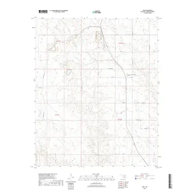
2018 Map of Troy
USGS Topo · Published 2018About this map
Troy anchors this central Johnston County landscape, situated at the intersection of 3rd St and Griffen Rd. The settlement's history is tied to the adjacent Troy Cem, while the surrounding terrain is defined by a dendritic network of waterways including Mill Creek, Rock Cr, and Sycamore Cr. These streams cut through the rural landscape, punctuated by local landmarks like Ten Acre Rock Rd and the expansive Daube Ranch Rd to the west. The map captures a moment in the late 2010s where the land use remains predominantly agricultural and ranching-focused. Local names like Amos Conley Rd and Pat Howell Rd suggest the enduring family footprints in the area, providing a precise spatial record of the township lines of T2S and T3S as they meet near the Slippery Falls Rd corridor.
Find a feature on this map
30 named features on this map. Tap any name to fly to it.
Don’t see what you’re looking for? This feature index may not catch every label — zoom into the map to look around manually.
Map Details
Editions of this 2018 Troy Map
This is the sole edition of this map. No revisions or reprints were ever made.
Other maps of this area

1901 · Tishomingo
USGS Topo · 1:125,000

1957 · Ardmore
USGS Topo · 1:250,000

1963 · Ardmore
USGS Topo · 1:250,000

1963 · Mannsville
USGS Topo · 1:24,000

1963 · Sulphur South
USGS Topo · 1:24,000

1963 · Mill Creek
USGS Topo · 1:24,000

1963 · Troy
USGS Topo · 1:24,000

1963 · Ravia
USGS Topo · 1:24,000

1963 · Nebo
USGS Topo · 1:24,000

1967 · Connerville
USGS Topo · 1:24,000