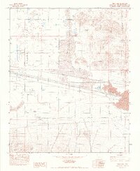
1982 Map of Troy Lake
USGS Topo · Published 1983About this map
Troy Lake and the surrounding high desert of the Mojave Valley are defined by a landscape of extreme aridity and industrial infrastructure in the early 1980s. The map illustrates a region transitioning from the volcanic terrain of the Cady Mountains and the Rodman Mountains to the flat expanse of the dry lake bed. A notable archaeological or historical marker is the location of Poe (Site), situated near an area of Lava and a large Borrow Pit.
Find a feature on this map
17 named features on this map. Tap any name to fly to it.
Don’t see what you’re looking for? This feature index may not catch every label — zoom into the map to look around manually.
Map Details
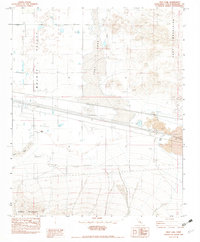
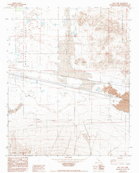
Editions of this 1982 Troy Lake Map
3 editions found
Other maps of this area

1953 · San Bernardino
USGS Topo · 1:250,000

1955 · Silver Bell Mine
USGS Topo · 1:24,000

1955 · Sunshine Peak
USGS Topo · 1:24,000

1955 · Newberry
USGS Topo · 1:62,500

1955 · Lavic
USGS Topo · 1:62,500

1955 · Cady Mountains
USGS Topo · 1:62,500

1955 · Rodman Mountains
USGS Topo · 1:62,500

1956 · San Bernardino
USGS Topo · 1:250,000

1957 · San Bernardino
USGS Topo · 1:250,000

1958 · San Bernardino
USGS Topo · 1:250,000