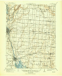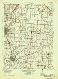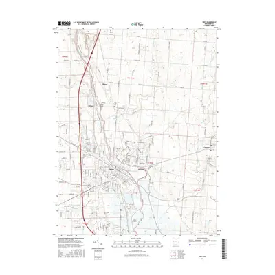
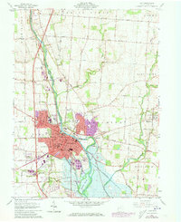
1961 Map of Troy
USGS Topo · Published 1962About this map
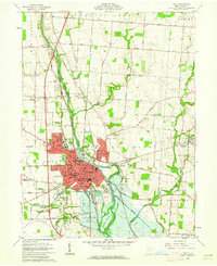
The Miami River serves as the central artery for this early 1960s study of western Ohio, where the growing city of Troy is bounded by both the Baltimore and Ohio and New York Central rail lines. The urban landscape is marked by civic and medical institutions such as Stouder Memorial Hospital and the County Home, reflecting the mid-century infrastructure of Miami County. To the east, the village of Casstown remains a distinct rural cluster near Lost Creek, while the western edge shows industrial activity at various Quarry sites and Gravel Pits along the river valley.
Find a feature on this map
53 named features on this map. Tap any name to fly to it.
Don’t see what you’re looking for? This feature index may not catch every label — zoom into the map to look around manually.
Map Details
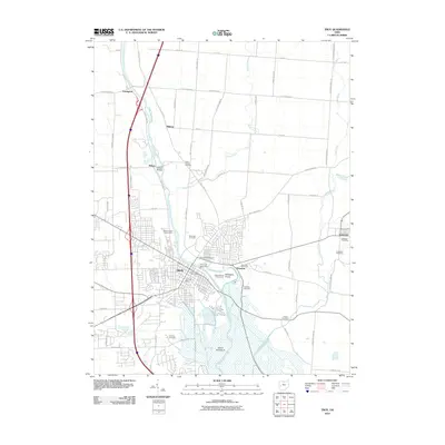
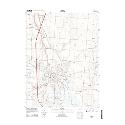
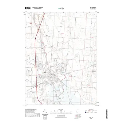
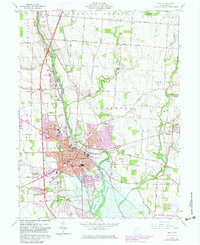
Editions of this 1961 Troy Map
5 editions found
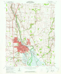
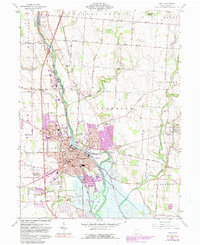
Historical Maps of Troy Through Time
8 maps found