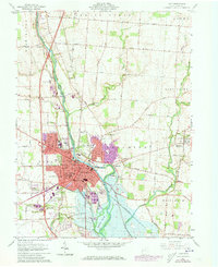
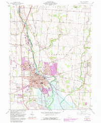
1961 Map of Troy
USGS Topo · Published 1973About this map
Troy serves as the focal point of this Miami County survey, situated where the Great Miami River bends through the heart of the landscape. The city’s mid-century footprint is detailed with major institutions such as Stouder Memorial Hospital, the County Fairground, and Edwards Sch. To the north and east, the character of the land remains largely agricultural, punctuated by small settlements like Casstown and Eldean.
Find a feature on this map
56 named features on this map. Tap any name to fly to it.
Don’t see what you’re looking for? This feature index may not catch every label — zoom into the map to look around manually.
Map Details
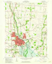
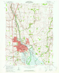
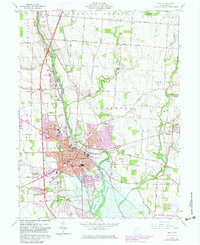
Editions of this 1961 Troy Map
5 editions found
Other maps of this area

1904 · Dayton
USGS Topo · 1:62,500

1905 · Brookville
USGS Topo · 1:62,500

1906 · Dayton
USGS Topo · 1:62,500

1911 · Covington
USGS Topo · 1:62,500

1914 · Troy
USGS Topo · 1:62,500

1944 · Covington
USGS Topo · 1:62,500

1944 · Troy
USGS Topo · 1:62,500

1953 · Cincinnati
USGS Topo · 1:250,000

1953 · Muncie
USGS Topo · 1:250,000

1955 · West Milton
USGS Topo · 1:24,000