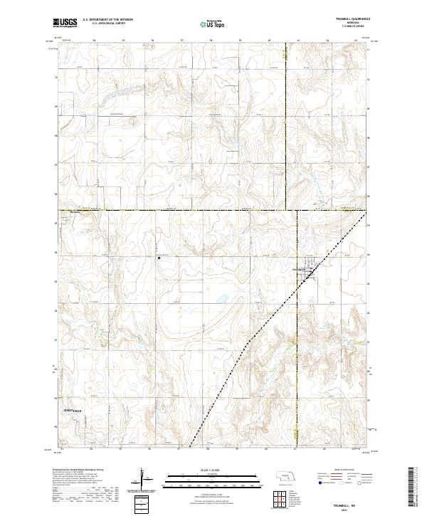
2021 Map of Trumbull
USGS Topo · Published 2021About this map
Trumbull serves as a focal point in this agricultural landscape where the borders of Hall, Hamilton, Adams, and Clay counties meet. The town's grid is small but distinct, positioned just south of the N Br W Fork Big Blue River. To the west, the settlement of Hansen sits near the edge of the survey area, while the southern reaches show the outskirts of Hastings. This region is defined by its drainage patterns, with the Flat Cr and Beaver Cr winding through the terrain toward the W Fork Big Blue River. Local history is anchored by sites such as the Greenwood Cem and the Arnold Reservoir. The map reveals a highly structured section-line road system, including named routes like S Stuhr Rd and E Rainforth Rd, which illustrate the organized development of Nebraska's central plains.
Find a feature on this map
61 named features on this map. Tap any name to fly to it.
Don’t see what you’re looking for? This feature index may not catch every label — zoom into the map to look around manually.
Map Details
Editions of this 2021 Trumbull Map
This is the sole edition of this map. No revisions or reprints were ever made.
Other maps of this area

1892 · Grand Island
USGS Topo · 1:62,500

1895 · Grand Island
USGS Topo · 1:62,500

1898 · Grand Island
USGS Topo · 1:125,000

1955 · Grand Island
USGS Topo · 1:250,000

1957 · Grand Island
USGS Topo · 1:250,000

1958 · Grand Island
USGS Topo · 1:250,000
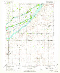
1962 · Doniphan
USGS Topo · 1:24,000
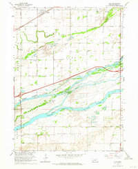
1962 · Alda
USGS Topo · 1:24,000
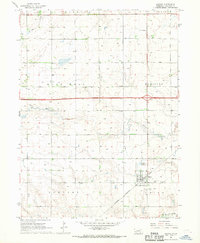
1967 · Giltner
USGS Topo · 1:24,000

1969 · Hastings East
USGS Topo · 1:24,000