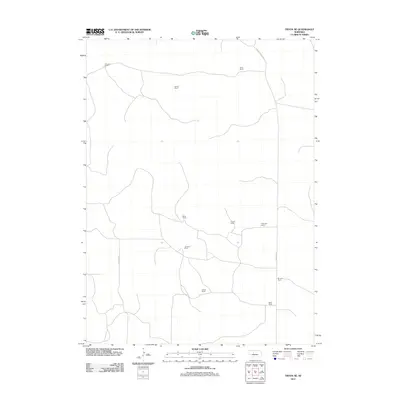
2011 Map of Tryon NE
USGS Topo · Published 2011About this map
The pastoral economy of Hooker County is documented through a series of family-owned ranching operations that define this rural Nebraska landscape. Early twenty-first-century survey data highlights the importance of individual ranch sites such as V Paxton Ranch, Garska Ranch, and the Miller Ranch. These holdings are connected by a sparse network of local roads including Cemetery Rd and the Ringgold Rd. The map illustrates a land-use pattern where large acreage and scattered homesteads predominate, reflecting the region's enduring cattle-raising traditions. Local family names are etched into the geography at the P Munson Ranch, James Ranch, and the Black Ranch, providing valuable points of reference for genealogists and researchers of the Sandhills region.
Find a feature on this map
13 named features on this map. Tap any name to fly to it.
Don’t see what you’re looking for? This feature index may not catch every label — zoom into the map to look around manually.
Map Details
Editions of this 2011 Tryon NE Map
This is the sole edition of this map. No revisions or reprints were ever made.
Other maps of this area

1948 · Thedford
USGS Topo · 1:62,500

1949 · Cody Lake
USGS Topo · 1:62,500

1950 · Thedford
USGS Topo · 1:62,500

1950 · Shimmins Lake
USGS Topo · 1:62,500

1951 · Tryon
USGS Topo · 1:62,500

1951 · Cody Lake
USGS Topo · 1:62,500

1954 · North Platte
USGS Topo · 1:250,000

1956 · North Platte
USGS Topo · 1:250,000

1957 · North Platte
USGS Topo · 1:250,000

1967 · North Platte
USGS Topo · 1:250,000