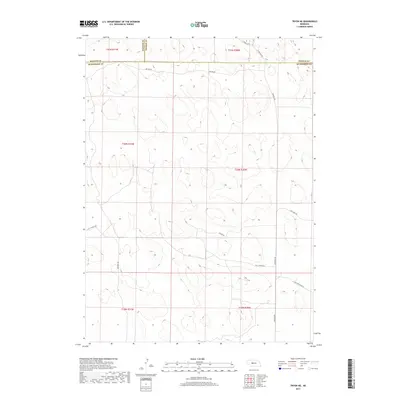
2017 Map of Tryon NE
USGS Topo · Published 2017About this map
Hooker, Thomas, and McPherson counties meet in this sparsely populated stretch of the Nebraska Sandhills, where the landscape is defined by its section-line roads and remote ranching access. The terrain is marked by a complex network of unpaved routes that serve the region's agricultural interests, including Paxton Dr and Miller Rd. Local landmarks that hint at the social fabric of these rural townships include Hall Church Rd and Cemetery Rd, suggesting the historical locations of community centers that anchored the surrounding ranchlands. The map reveals the classic grid of the Public Land Survey System, with township and range lines such as t20n r30w providing the structural framework for land ownership in this interior portion of the state.
Find a feature on this map
18 named features on this map. Tap any name to fly to it.
Don’t see what you’re looking for? This feature index may not catch every label — zoom into the map to look around manually.
Map Details
Editions of this 2017 Tryon NE Map
This is the sole edition of this map. No revisions or reprints were ever made.
Other maps of this area

1948 · Thedford
USGS Topo · 1:62,500

1949 · Cody Lake
USGS Topo · 1:62,500

1950 · Thedford
USGS Topo · 1:62,500

1950 · Shimmins Lake
USGS Topo · 1:62,500

1951 · Tryon
USGS Topo · 1:62,500

1951 · Cody Lake
USGS Topo · 1:62,500

1954 · North Platte
USGS Topo · 1:250,000

1956 · North Platte
USGS Topo · 1:250,000

1957 · North Platte
USGS Topo · 1:250,000

1967 · North Platte
USGS Topo · 1:250,000