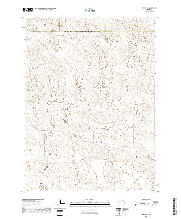
2021 Map of Tryon NE
USGS Topo · Published 2021About this map
McPherson County ranching lands and Sandhills terrain dominate this corner of Nebraska, defined by its sparse road network and historical boundary lines. The map captures a high-plateau landscape where Thomas and Hooker counties meet the northern edge of McPherson, a region where the Public Land Survey System has dictated the orientation of rural travel for generations. Paxton Dr and Ringold Rd represent the primary arteries through this sparsely settled territory, while smaller routes like Cemetery Rd and Hall Church Rd point to the community landmarks that have anchored this remote agricultural area. The absence of densely clustered settlements emphasizes the scale of the original homesteading sections, which are still clearly marked by local routes such as Old Homestead Rd.
Find a feature on this map
18 named features on this map. Tap any name to fly to it.
Don’t see what you’re looking for? This feature index may not catch every label — zoom into the map to look around manually.
Map Details
Editions of this 2021 Tryon NE Map
This is the sole edition of this map. No revisions or reprints were ever made.
Other maps of this area

1948 · Thedford
USGS Topo · 1:62,500

1949 · Cody Lake
USGS Topo · 1:62,500

1950 · Thedford
USGS Topo · 1:62,500

1950 · Shimmins Lake
USGS Topo · 1:62,500

1951 · Tryon
USGS Topo · 1:62,500

1951 · Cody Lake
USGS Topo · 1:62,500

1954 · North Platte
USGS Topo · 1:250,000

1956 · North Platte
USGS Topo · 1:250,000

1957 · North Platte
USGS Topo · 1:250,000

1967 · North Platte
USGS Topo · 1:250,000