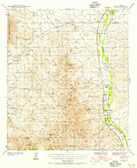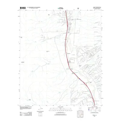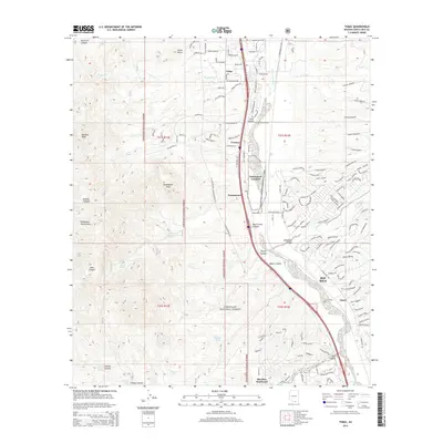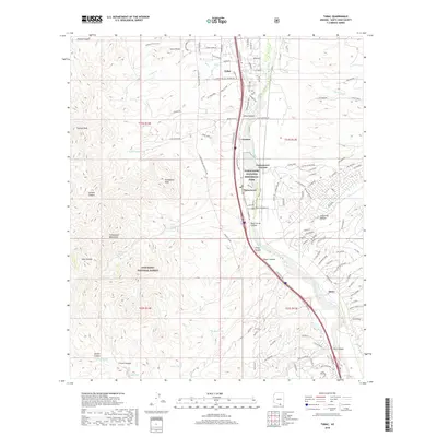
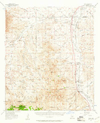
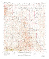
1957 Map of Tubac
USGS Topo · Published 1958About this map
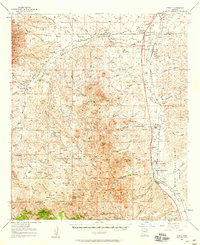
Tumacacori National Monument and the historic settlement of Tubac anchor this mid-century survey of the Santa Cruz River valley. The map reveals a landscape defined by cattle ranching and early commerce along the Southern Pacific rail line and US Highway 89. Numerous family-named homesteads and agricultural operations like Sopori Ranch, Rex Ranch, and San Cayetano Ranch are scattered throughout the lowlands, while the Tumacacori Mountains rise to the west within the Coronado National Forest. Genealogists and local historians can locate specific community hubs of the era, including the Sopori Sch and the Amado P O, alongside several marked cemeteries and the sprawling Luis Maria Baca Float No 3 land grant boundary, reflecting the region's complex history of land tenure.
Find a feature on this map
87 named features on this map. Tap any name to fly to it.
Don’t see what you’re looking for? This feature index may not catch every label — zoom into the map to look around manually.
Map Details
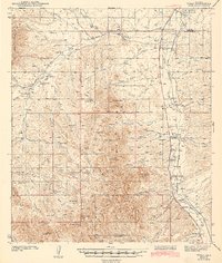
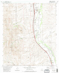
Editions of this 1957 Tubac Map
3 editions found
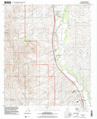
Historical Maps of Amado Through Time
9 maps found