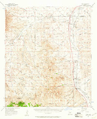
1957 Map of Tubac
USGS Topo · Published 1961About this map
Tumacacori National Monument and the surrounding ranching landscape define this 1950s record of the Santa Cruz River valley. The Southern Pacific railroad and the Tucson Nogales Highway serve as the primary north-south corridors, connecting settlements like Amado and Carmen. This era reveals a sophisticated network of water management in the arid terrain, indicated by numerous features such as Sardina Well, Papalote Well, and Sardina Dam. The map's detail extends into the San Cayetano Mountains and onto private landholdings like the Maria Baca Grant (Float No 3). Educational history is preserved through the locations of the Sopori Sch and Calabasas Sch, while the presence of scattered prospects and shafts near Diablito Mtn points to the area's legacy of mineral exploration.
Find a feature on this map
87 named features on this map. Tap any name to fly to it.
Don’t see what you’re looking for? This feature index may not catch every label — zoom into the map to look around manually.
Map Details
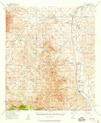
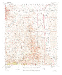
Editions of this 1957 Tubac Map
3 editions found
Other maps of this area

1904 · Patagonia
USGS Topo · 1:125,000

1905 · Patagonia
USGS Topo · 1:125,000

1905 · Nogales
USGS Topo · 1:125,000

1920 · Arivaca
USGS Topo · 1:125,000

1921 · Old Glory
USGS Topo · 1:125,000

1922 · Agus Caliente
USGS Topo · 1:62,500

1925 · Samaniego Peak
USGS Topo · 1:62,500

1926 · Helvetia
USGS Topo · 1:62,500

1933 · Calabasas
USGS Topo · 1:62,500

1939 · Twin Buttes
USGS Topo · 1:62,500