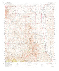
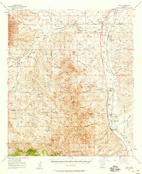
1957 Map of Tubac
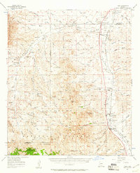
USGS Topo · Published 1971About this map
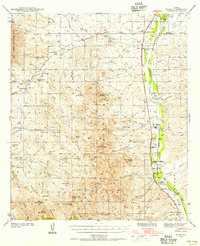
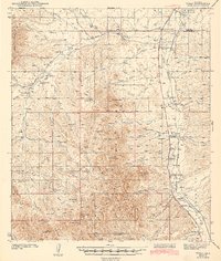
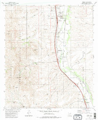
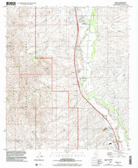
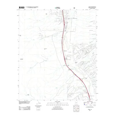
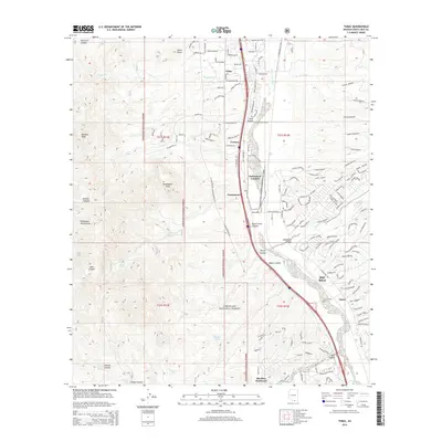
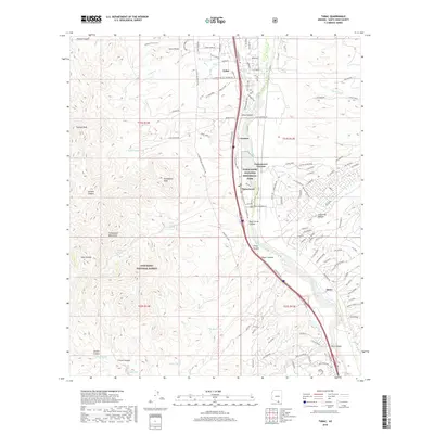
The Santa Cruz River valley serves as the central corridor for this mid-century survey, anchoring a landscape defined by traditional ranching and the path of the Southern Pacific railroad. The map traces the historical boundaries of Spanish and Mexican land grants, notably the Baca Float No 3 and San Ignacio De La Canoa, illustrating the persistent influence of colonial-era land tenure on 20th-century Arizona property lines. Settlements like Tubac and Amado line the valley, while the presence of Tumacacori National Monument highlights the preservation of the region's mission history. Beyond the valley floor, the terrain rises into the Tumacacori Mountains and the Coronado National Forest, where scattered prospects and landmarks like Sardina Peak and Murphy Peak overlook deep drainages such as Sardina Canyon. Local education and social hubs are marked by the Sopori Sch and Calabasas Sch, serving the surrounding cattle operations at Sopori Ranch and Agua Linda.
Find a feature on this map
72 named features on this map. Tap any name to fly to it.
Don’t see what you’re looking for? This feature index may not catch every label — zoom into the map to look around manually.
Map Details
Editions of this 1957 Tubac Map
3 editions found
Historical Maps of Amado Through Time
9 maps found