
1957 Map of Tuckers Corner
USGS Topo · Published 1958About this map
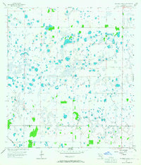
The remote South Florida wetlands of the late 1950s are meticulously documented in this survey, defined by a complex network of seasonal ponds and marshland. The settlement at Tuckers Corner serves as the primary landmark in this otherwise sparse interior landscape, which is divided by the prominent boundary between Charlotte Co and Lee Co. This division highlights the regional administrative lines during a period before significant residential expansion into these interior reaches. Transport is dominated by the Atlantic Coast Line railroad, which cuts through the southwestern corner of the terrain. The map captures a transition in the Florida landscape where traditional rail-dependent infrastructure met the early stages of mid-century development, preserving the exact locations of local property lines and natural water features before modern drainage and road systems altered the local hydrology.
Find a feature on this map
3 named features on this map. Tap any name to fly to it.
Don’t see what you’re looking for? This feature index may not catch every label — zoom into the map to look around manually.
Map Details
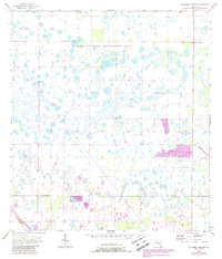
Editions of this 1957 Tuckers Corner Map
3 editions found
Other maps of this area

1956 · Telegraph Swamp
USGS Topo · 1:24,000

1956 · Cleveland
USGS Topo · 1:24,000

1956 · Telegraph Swamp NW
USGS Topo · 1:24,000

1956 · Bermont
USGS Topo · 1:24,000

1956 · West Palm Beach
USGS Topo · 1:250,000

1957 · West Palm Beach
USGS Topo · 1:250,000

1957 · Gilchrist
USGS Topo · 1:24,000

1958 · West Palm Beach
USGS Topo · 1:250,000

1958 · Fort Myers NW
USGS Topo · 1:24,000

1958 · Olga
USGS Topo · 1:24,000