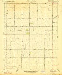
1947 Map of Tufts Ranch
USGS Topo · Published 1947About this map
Agricultural development in the San Joaquin Valley is clearly defined on this 1946 revision, which illustrates the structured grid of Fresno County's ranching and farming landscape. Large family and commercial operations like Tufts Ranch and Murietta Farm anchor the southern half of the map, while Coit Ranch sits further north along Jensen Avenue. The terrain is characterized by a dense network of east-west thoroughfares, including Belmont Avenue and Whites Bridge Road, which facilitate the transport of goods across this productive region.
Find a feature on this map
19 named features on this map. Tap any name to fly to it.
Don’t see what you’re looking for? This feature index may not catch every label — zoom into the map to look around manually.
Map Details
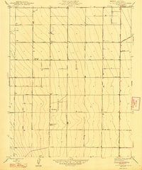
Editions of this 1947 Tufts Ranch Map
2 editions found
Other maps of this area

1913 · Panoche
USGS Topo · 1:125,000

1921 · Mendota
USGS Topo · 1:31,680

1922 · Tufts Ranch
USGS Topo · 1:31,680

1922 · Chaney Ranch
USGS Topo · 1:31,680

1923 · Levis
USGS Topo · 1:31,680

1923 · Wisdom Well
USGS Topo · 1:31,680

1923 · Englebrecht Ranch
USGS Topo · 1:31,680

1923 · Firebaugh
USGS Topo · 1:31,680

1923 · Monocline Ridge
USGS Topo · 1:31,680

1924 · Tranquillity
USGS Topo · 1:31,680