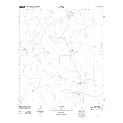
2010 Map of Tuleta
USGS Topo · Published 2010About this map
Medio Creek and its tributaries, including Dry Medio Creek and Toro Creek, define the drainage patterns of this Bee County landscape. This 2010 survey illustrates a region heavily shaped by the energy industry, with the Tuleta Oil Field, Pettus Oil Field, and Normanna Gas Field distributed across the countryside. The established settlements of Pettus, Tuleta, and Normanna serve as the primary hubs, connected by a network of county roads and local streets like N Hahl St and Pecan St. Local history and genealogy are centered around the Normanna Cemetery and the family-named operations at San Domingo Ranch. The presence of the Medio Creek Bridge and the Dougherty Reservoir further mark the intersection of natural watercourses and man-made infrastructure in this Texas interior.
Find a feature on this map
44 named features on this map. Tap any name to fly to it.
Don’t see what you’re looking for? This feature index may not catch every label — zoom into the map to look around manually.
Map Details
Editions of this 2010 Tuleta Map
This is the sole edition of this map. No revisions or reprints were ever made.
Other maps of this area

1936 · Pettus
USGS Topo · 1:62,500

1953 · Beeville
USGS Topo · 1:250,000

1954 · Skidmore
USGS Topo · 1:62,500

1954 · Fleming
USGS Topo · 1:62,500

1956 · Beeville
USGS Topo · 1:250,000

1956 · Pettus
USGS Topo · 1:62,500

1960 · Beeville
USGS Topo · 1:250,000
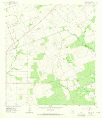
1963 · Monteola
USGS Topo · 1:24,000
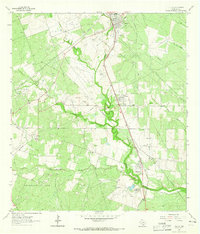
1963 · Tuleta
USGS Topo · 1:24,000
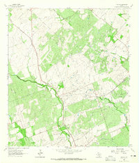
1963 · Tulsita
USGS Topo · 1:24,000