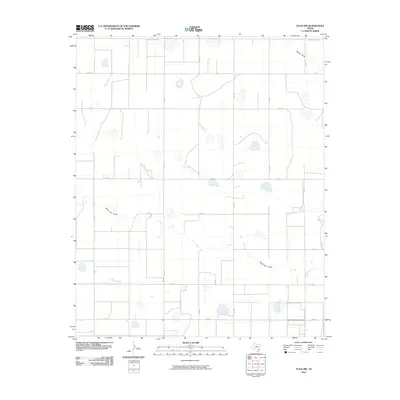
2010 Map of Tulia NW
USGS Topo · Published 2010About this map
North Tule Draw and Happy Draw define the drainage of this High Plains landscape, where ephemeral watercourses cut across a grid of section-line roads. The territory is characterized by numerous small playa lakes that dot the plains between the established transit corridors of FM 1075 and FM 1424. This U. S. Geological Survey topographic sheet reveals a high-altitude agricultural environment where the vast spacing between thoroughfares like W Happy West Rd and FM 214 indicates a sparse, rural settlement pattern. The map's detail provides a look at the rural road network, including many county roads such as Co Rd 4 and Co Rd 7, which served as the primary connectors for local landholders at the start of the decade.
Find a feature on this map
18 named features on this map. Tap any name to fly to it.
Don’t see what you’re looking for? This feature index may not catch every label — zoom into the map to look around manually.
Map Details
Editions of this 2010 Tulia NW Map
This is the sole edition of this map. No revisions or reprints were ever made.
Other maps of this area

1954 · Plainview
USGS Topo · 1:250,000

1954 · Clovis
USGS Topo · 1:250,000

1958 · Clovis
USGS Topo · 1:250,000

1958 · Plainview
USGS Topo · 1:250,000

1960 · Canyon
USGS Topo · 1:62,500

1961 · Buffalo Lake
USGS Topo · 1:62,500

1965 · Tulia
USGS Topo · 1:24,000

1965 · Lakeview
USGS Topo · 1:24,000

1965 · Happy
USGS Topo · 1:24,000

1965 · Nazareth
USGS Topo · 1:24,000