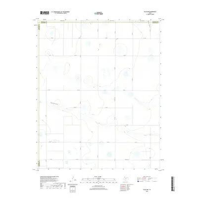
2019 Map of Tulia NW
USGS Topo · Published 2019About this map
The High Plains landscape of the Texas Panhandle is defined by its subtle drainage networks and agricultural grid. This survey highlights the convergence of several major county boundaries, where Randall and Swisher counties meet. The terrain is marked by intermittent water features including North Tule Lake and the meandering path of North Tule Draw as it cuts across the central portion of the quadrangle. In the northeast corner, Happy Draw suggests the local topography that channels seasonal runoff toward the Red River basin. This 2019 data captures a modern rural infrastructure of ranch roads and farm-to-market routes, such as Fm 1075 and Ranch Rd 214, which facilitate the region's cattle and cotton economy.
Find a feature on this map
22 named features on this map. Tap any name to fly to it.
Don’t see what you’re looking for? This feature index may not catch every label — zoom into the map to look around manually.
Map Details
Editions of this 2019 Tulia NW Map
This is the sole edition of this map. No revisions or reprints were ever made.
Other maps of this area

1954 · Plainview
USGS Topo · 1:250,000

1954 · Clovis
USGS Topo · 1:250,000

1958 · Clovis
USGS Topo · 1:250,000

1958 · Plainview
USGS Topo · 1:250,000

1960 · Canyon
USGS Topo · 1:62,500

1961 · Buffalo Lake
USGS Topo · 1:62,500

1965 · Tulia
USGS Topo · 1:24,000

1965 · Lakeview
USGS Topo · 1:24,000

1965 · Happy
USGS Topo · 1:24,000

1965 · Nazareth
USGS Topo · 1:24,000