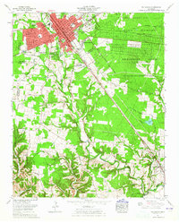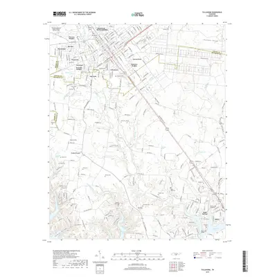
1972 Map of Tullahoma
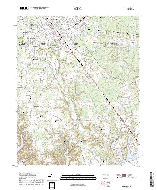
USGS Topo · Published 1982About this map
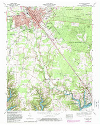
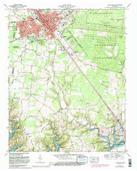
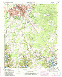
Tullahoma serves as the focal point of this regional study, showing a period of significant expansion across the Coffee and Franklin county lines. The landscape is defined by the intersection of military, educational, and recreational development, most notably the sprawling grounds of the Arnold Air Force Station and the Arnold Engineering Development Center. To the south, the rising waters of Tims Ford Lake along the Elk River represent a major shift in the local geography, creating a new shoreline that borders Lakeside Estates and the Holiday Marina and Resort.
Find a feature on this map
101 named features on this map. Tap any name to fly to it.
Don’t see what you’re looking for? This feature index may not catch every label — zoom into the map to look around manually.
Map Details
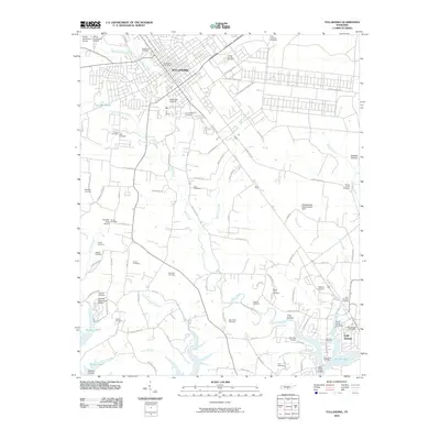
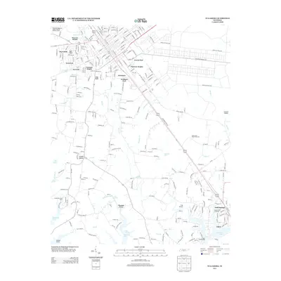
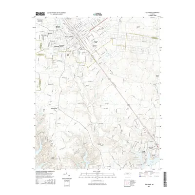
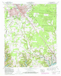
Editions of this 1972 Tullahoma Map
5 editions found
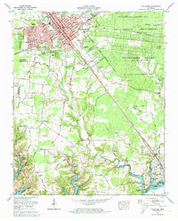
Historical Maps of Tullahoma Through Time
8 maps found