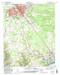
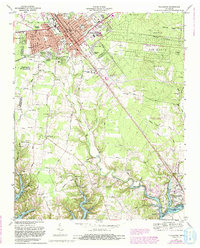
1972 Map of Tullahoma
USGS Topo · Published 1988About this map
The industrial and civic hub of Tullahoma anchors this survey, showing a landscape defined by significant 20th-century institutional and infrastructure development. The city's growth is evident in residential developments like Pineview Heights and Westside Heights, while its transportation roots remain tied to the Louisville and Nashville Railroad and the Nashville and Chattanooga Railroad. To the east, the extensive grounds of the Arnold Air Force Station and associated Wildlife Management Areas occupy large tracts of the Highland Rim.
Find a feature on this map
94 named features on this map. Tap any name to fly to it.
Don’t see what you’re looking for? This feature index may not catch every label — zoom into the map to look around manually.
Map Details
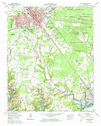
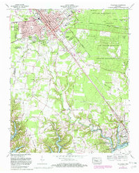
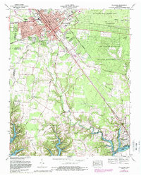
Editions of this 1972 Tullahoma Map
5 editions found
Other maps of this area

1928 · Decherd
USGS Topo · 1:62,500

1936 · Ovoca
USGS Topo · 1:24,000

1936 · Manchester
USGS Topo · 1:24,000

1936 · Cumberland Springs
USGS Topo · 1:24,000

1936 · Winchester
USGS Topo · 1:24,000

1936 · Belvidere
USGS Topo · 1:24,000

1936 · Camp Peay
USGS Topo · 1:24,000

1936 · Capitol Hill
USGS Topo · 1:24,000

1936 · Normandy
USGS Topo · 1:24,000

1936 · Lois
USGS Topo · 1:24,000