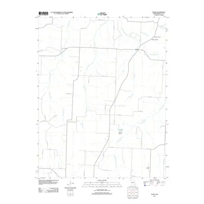
2011 Map of Tunas
USGS Topo · Published 2011About this map
Tunas serves as the central settlement in this portion of Dallas County, situated where Missouri State Route 73 meets State Route E. The landscape is defined by the winding course of the Little Niangua River, which flows through the eastern and southern sections of the area. This water system is supported by numerous named tributaries, including Tunas Branch, Judge Creek, and Monday Branch. The presence of Maddux Lake and the Maddux Lake Dam indicates a managed water landscape in the central-east, while northern topographical features like Coatney Hollow and Elkhorn Hollow suggest a more dissected terrain.
Find a feature on this map
43 named features on this map. Tap any name to fly to it.
Don’t see what you’re looking for? This feature index may not catch every label — zoom into the map to look around manually.
Map Details
Editions of this 2011 Tunas Map
This is the sole edition of this map. No revisions or reprints were ever made.
Other maps of this area

1884 · Bolivar
USGS Topo · 1:125,000

1892 · Bolivar
USGS Topo · 1:125,000

1934 · Macks Creek
USGS Topo · 1:48,000

1939 · Macks Creek
USGS Topo · 1:62,500

1939 · Long Lane
USGS Topo · 1:62,500

1942 · Long Lane
USGS Topo · 1:62,500

1950 · Buffalo NW
USGS Topo · 1:24,000

1950 · Urbana
USGS Topo · 1:24,000

1951 · Buffalo NW
USGS Topo · 1:24,000

1951 · Urbana
USGS Topo · 1:24,000