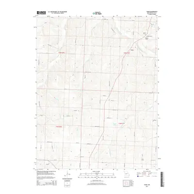
2015 Map of Tunas
USGS Topo · Published 2015About this map
Tunas serves as the central hub for this portion of Dallas County, situated where several local roads converge near the Little Niangua River. The landscape is defined by its drainages, with the river joined by smaller tributaries including Tunas Br, Monday Br, and Judge Cr. Family names and local history are etched into the terrain at Coatney Hollow and Coatney Spring, while the Hopewell Cemetery stands as a focal point for genealogical research in the area.
Find a feature on this map
59 named features on this map. Tap any name to fly to it.
Don’t see what you’re looking for? This feature index may not catch every label — zoom into the map to look around manually.
Map Details
Editions of this 2015 Tunas Map
This is the sole edition of this map. No revisions or reprints were ever made.
Other maps of this area

1884 · Bolivar
USGS Topo · 1:125,000

1892 · Bolivar
USGS Topo · 1:125,000

1934 · Macks Creek
USGS Topo · 1:48,000

1939 · Macks Creek
USGS Topo · 1:62,500

1939 · Long Lane
USGS Topo · 1:62,500

1942 · Long Lane
USGS Topo · 1:62,500

1950 · Buffalo NW
USGS Topo · 1:24,000

1950 · Urbana
USGS Topo · 1:24,000

1951 · Buffalo NW
USGS Topo · 1:24,000

1951 · Urbana
USGS Topo · 1:24,000