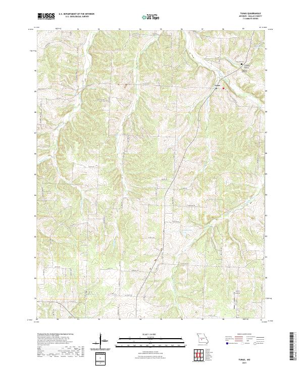
2021 Map of Tunas
USGS Topo · Published 2021About this map
Tunas serves as the central hub of this Dallas County landscape, where the Little Niangua River and its numerous tributaries like Judge Cr and Tunas Br carve a complex network of ridges and hollows. The settlement pattern is defined by rural road networks such as State Rd D and State Rd E, connecting family-named landmarks and historical sites. Genealogy researchers will find the Hopewell Cem and the small settlement of Elkhorn near the northern edge of the survey area, while Coatney Hollow and Coatney Br suggest the deep-rooted local history of the Coatney family in this part of Missouri.
Find a feature on this map
32 named features on this map. Tap any name to fly to it.
Don’t see what you’re looking for? This feature index may not catch every label — zoom into the map to look around manually.
Map Details
Editions of this 2021 Tunas Map
This is the sole edition of this map. No revisions or reprints were ever made.
Other maps of this area

1884 · Bolivar
USGS Topo · 1:125,000

1892 · Bolivar
USGS Topo · 1:125,000

1934 · Macks Creek
USGS Topo · 1:48,000

1939 · Macks Creek
USGS Topo · 1:62,500

1939 · Long Lane
USGS Topo · 1:62,500

1942 · Long Lane
USGS Topo · 1:62,500

1950 · Buffalo NW
USGS Topo · 1:24,000

1950 · Urbana
USGS Topo · 1:24,000

1951 · Buffalo NW
USGS Topo · 1:24,000

1951 · Urbana
USGS Topo · 1:24,000