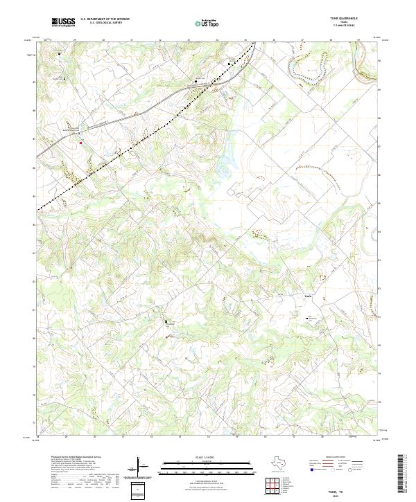
2022 Map of Tunis
USGS Topo · Published 2022About this map
The Brazos River forms the eastern boundary of this landscape in Burleson County, where the settlement of Tunis serves as a central point for the surrounding rural road network. The terrain is defined by its numerous small waterways, including Reed Cr, Carrington Cr, and Sessums Br, which carve paths toward the river lowlands. This area is particularly significant for genealogical research, as it contains an unusually high density of family and community burial grounds.
Find a feature on this map
79 named features on this map. Tap any name to fly to it.
Don’t see what you’re looking for? This feature index may not catch every label — zoom into the map to look around manually.
Map Details
Editions of this 2022 Tunis Map
This is the sole edition of this map. No revisions or reprints were ever made.
Other maps of this area

1914 · Gay Hill
USGS Topo · 1:62,500

1954 · Austin
USGS Topo · 1:250,000

1956 · Bryan
USGS Topo · 1:62,500

1956 · Caldwell
USGS Topo · 1:62,500

1956 · Somerville
USGS Topo · 1:62,500

1960 · Lyons
USGS Topo · 1:24,000
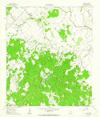
1960 · Snook
USGS Topo · 1:24,000
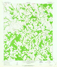
1960 · Frenstat
USGS Topo · 1:24,000
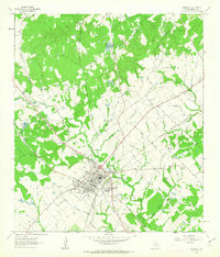
1961 · Caldwell
USGS Topo · 1:24,000

1961 · Mumford
USGS Topo · 1:24,000