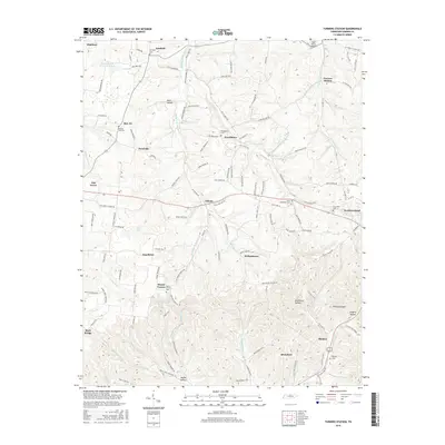
2016 Map of Turners Station
USGS Topo · Published 2016About this map
Turners Station and the surrounding Sumner County highlands are defined by a dense network of ridge-top roads and deep hollows, such as Keen Hollow and Rockhouse Hollow. This 2016 survey highlights the intricate topography of the Tennessee-Kentucky borderlands, where settlements like Westmoreland and Liberty developed along these natural corridors. The landscape is dotted with small family and community burial grounds, including the Fairfield Cem, Butt Cem, and Bradley Cem, which offer significant value for genealogical research in this rural region.
Find a feature on this map
121 named features on this map. Tap any name to fly to it.
Don’t see what you’re looking for? This feature index may not catch every label — zoom into the map to look around manually.
Map Details
Editions of this 2016 Turners Station Map
This is the sole edition of this map. No revisions or reprints were ever made.
Other maps of this area

1928 · Adolphus
USGS Topo · 1:48,000

1931 · Lafayette
USGS Topo · 1:62,500

1931 · Adolphus
USGS Topo · 1:62,500

1942 · Gallatin
USGS Topo · 1:100,000

1954 · Petroleum
USGS Topo · 1:24,000
1954 · Hickory Flat
USGS Topo · 1:24,000

1954 · Adolphus
USGS Topo · 1:24,000

1955 · Bethpage
USGS Topo · 1:24,000

1955 · Gallatin
USGS Topo · 1:24,000

1956 · Nashville
USGS Topo · 1:250,000