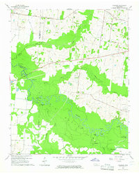
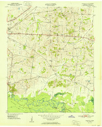
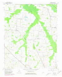
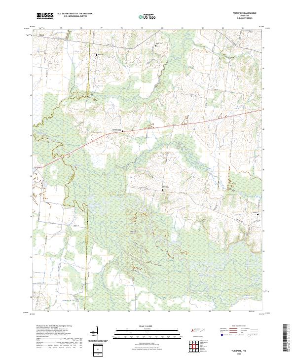
1964 Map of Turnpike
USGS Topo · Published 1965This historical map portrays the area of Turnpike in 1964, primarily covering Haywood County as well as portions of Lauderdale County and Tipton County. Featuring a scale of 1:24000, this map provides a highly detailed snapshot of the terrain, roads, buildings, counties, and historical landmarks in the Turnpike region at the time. Published in 1965, it is one of 2 known editions of this map due to revisions or reprints.
Find a feature on this map
35 named features on this map. Tap any name to fly to it.
Don’t see what you’re looking for? This feature index may not catch every label — zoom into the map to look around manually.
Map Details
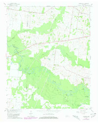
Editions of this 1964 Turnpike Map
2 editions found
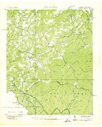
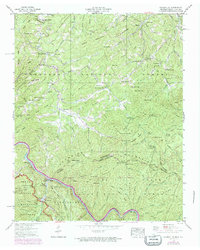
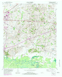
Historical Maps of Tipton County Through Time
15 maps found
1936 Waterville
Haywood County, TN
1940 Waterville
Haywood County, TN
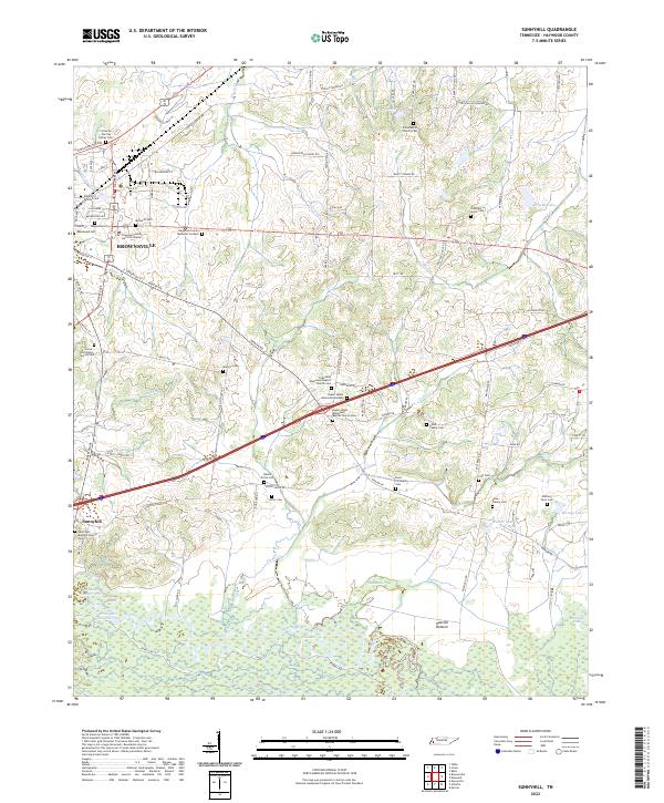
1950 Sunnyhill
Haywood County, TN
1951 Sunnyhill
Haywood County, TN
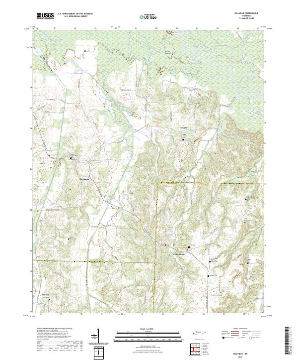
1959 Hillville
Haywood County, TN
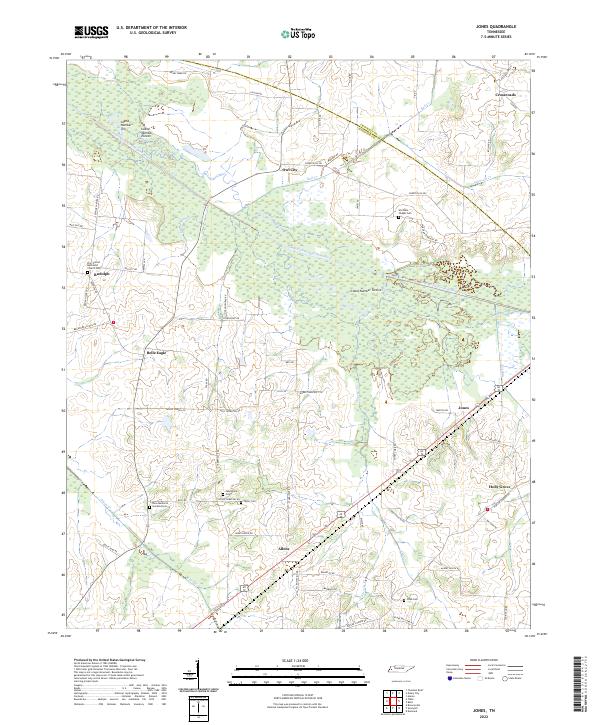
1961 Jones
Haywood County, TN
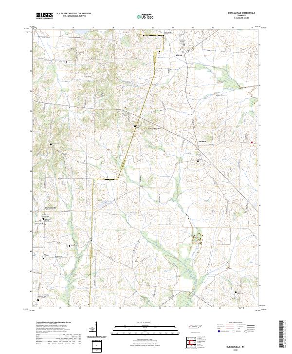
1964 Durhamville
Haywood County, TN
1964 Tibbs
Haywood County, TN
1964 Turnpike
Haywood County, TN
2022 Durhamville
Haywood County, TN
2022 Hillville
Haywood County, TN
2022 Jones
Haywood County, TN
2022 Sunnyhill
Haywood County, TN

2022 Tibbs
Haywood County, TN
2022 Turnpike
Haywood County, TN