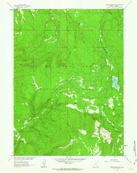
1961 Map of Turpin Reservoir
USGS Topo · Published 1969About this map
The Medicine Bow National Forest dominates this high-altitude landscape in Carbon County, Wyoming, as surveyed in the late 1950s. The terrain is defined by a dense network of mountain drainages, including the North Brush Creek, Harden Creek, and Cassidy Creek, which flow through the steep timbered slopes. Of particular interest to mining historians is the Golden Gate Prospect located in the southwestern quadrant near Cortez Creek, a remnant of the region's mineral exploration. The map illustrates the specialized land use of the era, where primitive Jeep Trails provide the primary access to remote high-country basins. Notable natural clearings such as Fish Creek Park and Cecil Park punctuate the forest, while the Turpin Reservoir and Moerke Lake serve as key water features in this drainage basin for the Missouri River system.
Find a feature on this map
16 named features on this map. Tap any name to fly to it.
Don’t see what you’re looking for? This feature index may not catch every label — zoom into the map to look around manually.
Map Details
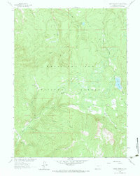
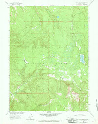
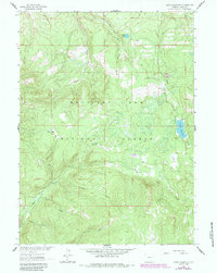
Editions of this 1961 Turpin Reservoir Map
4 editions found
Other maps of this area

1893 · Fort Steele
USGS Topo · 1:125,000

1906 · Medicine Bow
USGS Topo · 1:125,000

1908 · Medicine Bow
USGS Topo · 1:125,000

1939 · Saratoga
USGS Topo · 1:125,000

1954 · Rawlins
USGS Topo · 1:250,000

1955 · Elk Mountain SW
USGS Topo · 1:24,000

1955 · Coad Mountain
USGS Topo · 1:24,000

1958 · Rawlins
USGS Topo · 1:250,000

1958 · White Rock Canyon
USGS Topo · 1:24,000

1961 · Ryan Park
USGS Topo · 1:24,000