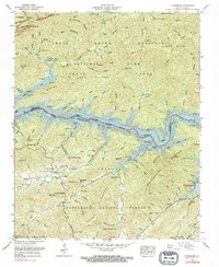
1961 Map of Tuskeegee
USGS Topo · Published 1990About this map
Little Tennessee River Fontana Lake divides this landscape, marking the boundary between Great Smoky Mountains National Park and the Nantahala National Forest. The map documents a rugged interior region before major modern development, where isolated settlements like Tuskeegee and Proctor are linked by topographic gaps and mountain branches. Family history is deeply etched into the terrain through numerous small burial grounds, including Bradshaw Cem, Cable Cem, and Pikey Cem, which are scattered among the steep ridges of Welch Ridge and Forneys Ridge. The intricate drainage network, from Hazel Creek to Stecoah Creek, defines the travel patterns and settlement pockets of the era. Prominent peaks such as Welch Bald and The Pinnacle tower over the reservoir, illustrating the dramatic elevation changes that shaped life in Swain and Graham counties during the mid-20th century.
Find a feature on this map
107 named features on this map. Tap any name to fly to it.
Don’t see what you’re looking for? This feature index may not catch every label — zoom into the map to look around manually.
Map Details
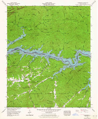
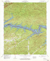
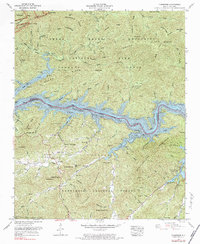
Editions of this 1961 Tuskeegee Map
4 editions found
Other maps of this area

1886 · Knoxville
USGS Topo · 1:125,000

1892 · Knoxville
USGS Topo · 1:125,000

1894 · Knoxville
USGS Topo · 1:125,000

1895 · Knoxville
USGS Topo · 1:125,000

1901 · Knoxville
USGS Topo · 1:125,000

1933 · Bushnell
USGS Topo · 1:62,500

1935 · Robbinsville
USGS Topo · 1:24,000

1935 · Fontana
USGS Topo · 1:24,000

1936 · Proctor
USGS Topo · 1:24,000

1936 · Wesser
USGS Topo · 1:24,000