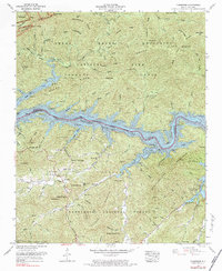
1961 Map of Tuskeegee
USGS Topo · Published 1984About this map
Little Tennessee River Fontana Lake dominates the central topography of this 1961 survey, carving a deep boundary between Great Smoky Mountains National Park to the north and the Nantahala National Forest to the south. The map documents a landscape defined by sharp elevation changes, from the heights of Welch Ridge and Forneys Ridge down to the inundated valley floor. Genealogists will find numerous family-named burial sites such as Bone Valley Cem, Sugar Fork Cem, and Welch Cem tucked into the drainages of Hazel Creek and Forney Creek. Small communities like Tuskeegee and Proctor are shown in relation to the vast network of gaps and knobs, including Whiteside Gap and Big Elk Knob. The map effectively illustrates the 1960s footprint of the Tennessee Valley Authority's influence on the Swain County and Graham County border.
Find a feature on this map
89 named features on this map. Tap any name to fly to it.
Don’t see what you’re looking for? This feature index may not catch every label — zoom into the map to look around manually.
Map Details
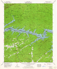
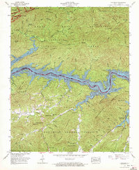
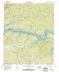
Editions of this 1961 Tuskeegee Map
4 editions found
Other maps of this area

1886 · Knoxville
USGS Topo · 1:125,000

1892 · Knoxville
USGS Topo · 1:125,000

1894 · Knoxville
USGS Topo · 1:125,000

1895 · Knoxville
USGS Topo · 1:125,000

1901 · Knoxville
USGS Topo · 1:125,000

1933 · Bushnell
USGS Topo · 1:62,500

1935 · Robbinsville
USGS Topo · 1:24,000

1935 · Fontana
USGS Topo · 1:24,000

1936 · Proctor
USGS Topo · 1:24,000

1936 · Wesser
USGS Topo · 1:24,000