
2017 Map of Tuttle
USGS Topo · Published 2017About this map
Tuttle sits at the heart of an intricate water-management landscape where the high desert meets the canyon systems of southern Idaho. The map reveals a complex network of agricultural irrigation, with numerous lateral canals such as Lateral X-30 and Lateral W-45 branching across the plateau. The terrain is sharply defined by the Malad Gorge and the Canyon Rim, which separate the upland farms from the Hagerman Valley below. This survey captures the critical intersection of modern infrastructure and natural water sources, including Big Springs and Bickel Spring. The legacy of local engineering is evident in the alignment of the Curren Ditch and the Brailsford Ditch, which parallel the natural flow of Billingsley Creek. Local transportation history is preserved through named routes like the Old Malad River Hwy and steep descents including Vader Grade and Johnson Grade, illustrating how the community navigated the dramatic elevation changes between the plains and the riverbed.
Find a feature on this map
52 named features on this map. Tap any name to fly to it.
Don’t see what you’re looking for? This feature index may not catch every label — zoom into the map to look around manually.
Map Details
Editions of this 2017 Tuttle Map
This is the sole edition of this map. No revisions or reprints were ever made.
Other maps of this area
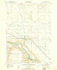
1949 · Bliss
USGS Topo · 1:24,000
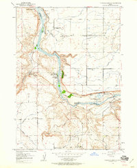
1949 · Thousand Springs
USGS Topo · 1:24,000
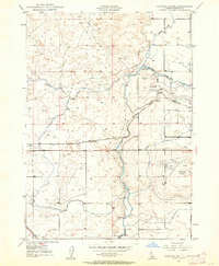
1949 · Gooding Butte
USGS Topo · 1:24,000
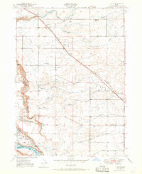
1949 · Tuttle
USGS Topo · 1:24,000
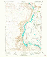
1949 · Hagerman
USGS Topo · 1:24,000
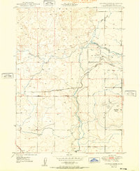
1950 · Gooding Butte
USGS Topo · 1:24,000
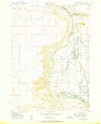
1950 · Hagerman
USGS Topo · 1:24,000
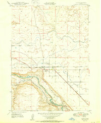
1950 · Bliss
USGS Topo · 1:24,000
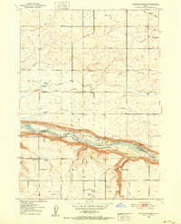
1950 · Niagara Springs
USGS Topo · 1:24,000
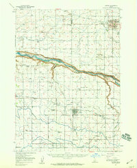
1950 · Jerome
USGS Topo · 1:62,500