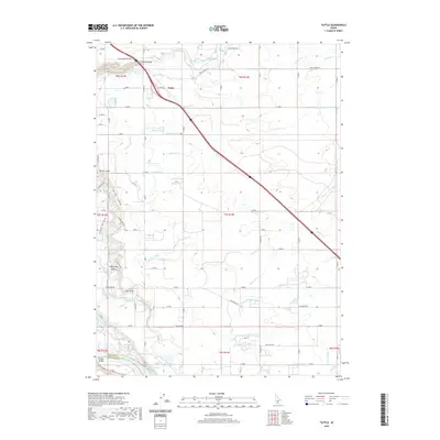
2020 Map of Tuttle
USGS Topo · Published 2020About this map
Tuttle serves as a central point in this southern Idaho landscape where the high plateau meets the dramatic descents of the Hagerman Valley. The terrain is defined by the sharp incisions of the Canyon Rim, where the Malad River carves through the earth at the Malad Gorge before its waters eventually join the Snake River at the southwestern corner of the quadrangle. This area is a complex network of agricultural irrigation, evidenced by the numerous numbered laterals like Lateral X-30 and Lateral W-46 that crisscross the plains.
Find a feature on this map
53 named features on this map. Tap any name to fly to it.
Don’t see what you’re looking for? This feature index may not catch every label — zoom into the map to look around manually.
Map Details
Editions of this 2020 Tuttle Map
This is the sole edition of this map. No revisions or reprints were ever made.
Other maps of this area

1949 · Bliss
USGS Topo · 1:24,000

1949 · Thousand Springs
USGS Topo · 1:24,000

1949 · Gooding Butte
USGS Topo · 1:24,000

1949 · Tuttle
USGS Topo · 1:24,000

1949 · Hagerman
USGS Topo · 1:24,000

1950 · Gooding Butte
USGS Topo · 1:24,000

1950 · Hagerman
USGS Topo · 1:24,000

1950 · Bliss
USGS Topo · 1:24,000

1950 · Niagara Springs
USGS Topo · 1:24,000

1950 · Jerome
USGS Topo · 1:62,500