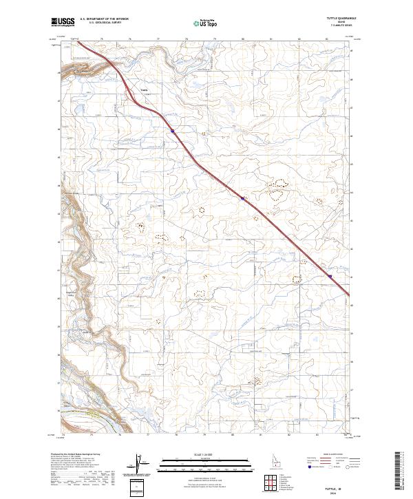
2024 Map of Tuttle
USGS Topo · Published 2024About this map
Tuttle sits atop the volcanic plateau of southern Idaho, overlooking a landscape defined by the dramatic descent into the Hagerman Valley. The map highlights the sophisticated irrigation network essential to this region's agriculture, featuring a dense web of laterals such as Lateral X-30 and W Canal. The terrain drops sharply at the Canyon Rim, where the Malad River carves through the Malad Gorge before its confluence with the larger Snake River. This 2024 survey documents the convergence of industrial-scale water management and natural landmarks, including the National Fish Hatchery and the Hagerman Wildlife Management Area. Historic transportation routes like the Old Malad River Hwy and steep descents like Vader Grade provide evidence of the area's geological challenges for early travelers and modern infrastructure alike, while Bridal Veil Falls marks the rugged transition from the high desert to the river bottom.
Find a feature on this map
58 named features on this map. Tap any name to fly to it.
Don’t see what you’re looking for? This feature index may not catch every label — zoom into the map to look around manually.
Map Details
Editions of this 2024 Tuttle Map
This is the sole edition of this map. No revisions or reprints were ever made.
Other maps of this area

1949 · Bliss
USGS Topo · 1:24,000

1949 · Thousand Springs
USGS Topo · 1:24,000

1949 · Gooding Butte
USGS Topo · 1:24,000

1949 · Tuttle
USGS Topo · 1:24,000

1949 · Hagerman
USGS Topo · 1:24,000

1950 · Gooding Butte
USGS Topo · 1:24,000

1950 · Hagerman
USGS Topo · 1:24,000

1950 · Bliss
USGS Topo · 1:24,000

1950 · Niagara Springs
USGS Topo · 1:24,000

1950 · Jerome
USGS Topo · 1:62,500