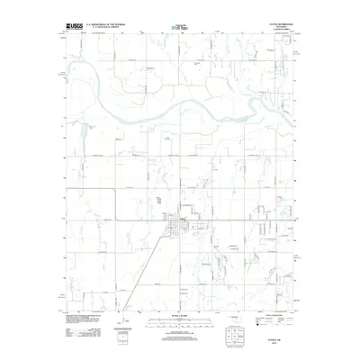
2012 Map of Tuttle
USGS Topo · Published 2012About this map
The town of Tuttle serves as the central hub of this Oklahoma landscape, situated south of the wide, meandering course of the Canadian River. This 2012 survey captures the transition between organized township grids and the natural, winding drainage patterns of numerous local waterways. Several significant tributaries, including Dry Creek, Foreman Creek, and Bennett Cr, flow toward the river from the north, while the southern terrain is marked by West Cr and Snake Cr.
Find a feature on this map
96 named features on this map. Tap any name to fly to it.
Don’t see what you’re looking for? This feature index may not catch every label — zoom into the map to look around manually.
Map Details
Editions of this 2012 Tuttle Map
This is the sole edition of this map. No revisions or reprints were ever made.
Other maps of this area

1893 · Oklahoma City
USGS Topo · 1:62,500

1893 · Minco
USGS Topo · 1:62,500

1904 · Chickasha
USGS Topo · 1:125,000

1954 · Oklahoma City
USGS Topo · 1:250,000

1956 · Oklahoma City
USGS Topo · 1:62,500

1957 · Oklahoma City
USGS Topo · 1:250,000

1963 · Oklahoma City
USGS Topo · 1:250,000
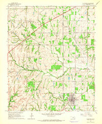
1965 · Blanchard
USGS Topo · 1:24,000
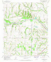
1965 · Oklahoma City SW
USGS Topo · 1:24,000
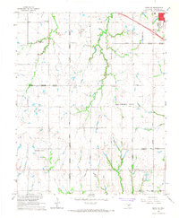
1966 · Minco NE
USGS Topo · 1:24,000