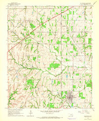
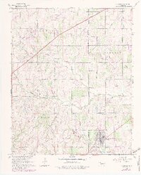
1965 Map of Blanchard
USGS Topo · Published 1966About this map
The town of Blanchard sits at the junction of the Grady Co McClain Co line during the mid-1960s, showing a transition toward modern infrastructure. The H E Bailey Toll Road cuts a sharp diagonal across the northwestern corner, contrasting with the legacy of the Old Railroad Grade that still traces a path south of the main settlement. This area, largely defined by the drainage of North Fork Walnut Creek, is dotted with local landmarks significant to family researchers, such as the Blanchard Cem and rural educational centers like Bridge Creek Sch. Religious life is anchored by Mission Ch and New Hope Ch, while the northern portion of the map shows the growing Newcastle corporate boundary. The presence of numerous pipelines and Gravel Pits points to an economy rooted in both resource extraction and utility transit during this era of Oklahoma's development.
Find a feature on this map
24 named features on this map. Tap any name to fly to it.
Don’t see what you’re looking for? This feature index may not catch every label — zoom into the map to look around manually.
Map Details
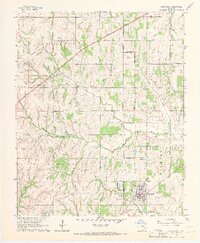
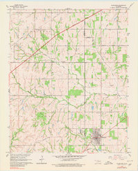
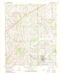
Editions of this 1965 Blanchard Map
5 editions found
Other maps of this area

1893 · Oklahoma City
USGS Topo · 1:62,500

1893 · Minco
USGS Topo · 1:62,500

1904 · Chickasha
USGS Topo · 1:125,000

1954 · Oklahoma City
USGS Topo · 1:250,000

1956 · Oklahoma City
USGS Topo · 1:62,500

1956 · Oklahoma City SE
USGS Topo · 1:24,000

1957 · Oklahoma City
USGS Topo · 1:250,000

1963 · Oklahoma City
USGS Topo · 1:250,000
1965 · Newcastle
USGS Topo · 1:24,000
1965 · Cole
USGS Topo · 1:24,000