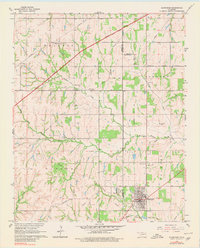
1965 Map of Blanchard
USGS Topo · Published 1980About this map
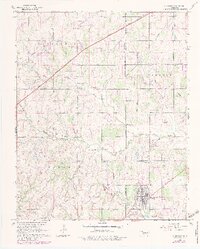
Blanchard sits at the intersection of a developing modern transport network and the remnants of its early 20th-century origins. In the mid-1960s, the community was defined by the diagonal path of the H E Bailey Toll Road, which sliced across the traditional land divisions of Waldron and Johnson. While the highway brought high-speed travel, the physical landscape still bore the marks of an older economy, notably the Old RR Grade winding through the southern part of town near Vincent.
Find a feature on this map
25 named features on this map. Tap any name to fly to it.
Don’t see what you’re looking for? This feature index may not catch every label — zoom into the map to look around manually.
Map Details
Editions of this 1965 Blanchard Map
5 editions found
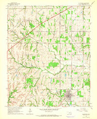
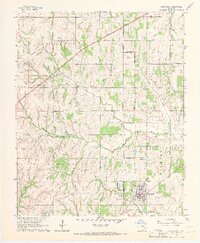
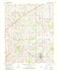
Other maps of this area

1893 · Oklahoma City
USGS Topo · 1:62,500

1893 · Minco
USGS Topo · 1:62,500

1904 · Chickasha
USGS Topo · 1:125,000

1954 · Oklahoma City
USGS Topo · 1:250,000

1956 · Oklahoma City
USGS Topo · 1:62,500

1956 · Oklahoma City SE
USGS Topo · 1:24,000

1957 · Oklahoma City
USGS Topo · 1:250,000

1963 · Oklahoma City
USGS Topo · 1:250,000
1965 · Newcastle
USGS Topo · 1:24,000
1965 · Cole
USGS Topo · 1:24,000