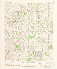
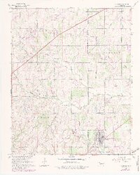
1965 Map of Blanchard
USGS Topo · Published 1966About this map
The town of Blanchard serves as the focal point of this mid-1960s survey, straddling the line between McClain and Grady counties. The landscape is defined by the winding course of Walnut Creek and its North Fork, which cut through the various townships of Vincent, Waldron, and Goldsby. Infrastructure is a primary feature of this era, dominated by the diagonal sweep of the H E Bailey Toll Road and numerous energy corridors marked as Pipeline.
Find a feature on this map
24 named features on this map. Tap any name to fly to it.
Don’t see what you’re looking for? This feature index may not catch every label — zoom into the map to look around manually.
Map Details
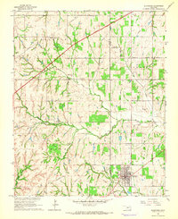
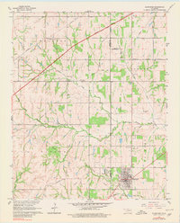
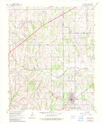
Editions of this 1965 Blanchard Map
5 editions found
Other maps of this area

1893 · Oklahoma City
USGS Topo · 1:62,500

1893 · Minco
USGS Topo · 1:62,500

1904 · Chickasha
USGS Topo · 1:125,000

1954 · Oklahoma City
USGS Topo · 1:250,000

1956 · Oklahoma City
USGS Topo · 1:62,500

1956 · Oklahoma City SE
USGS Topo · 1:24,000

1957 · Oklahoma City
USGS Topo · 1:250,000

1963 · Oklahoma City
USGS Topo · 1:250,000
1965 · Newcastle
USGS Topo · 1:24,000
1965 · Cole
USGS Topo · 1:24,000