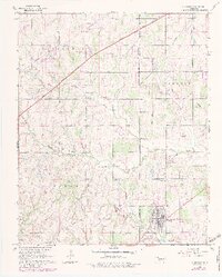
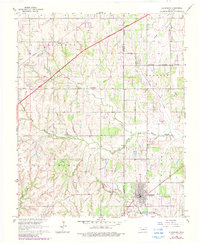
1965 Map of Blanchard
USGS Topo · Published 1983About this map
Blanchard anchors this Oklahoma landscape at a time when traditional rural structures and modern transit corridors converged. The settlement is defined by its concentrated grid and the Blanchard Cem to its north, while the surrounding territory is divided by the Grady Co McClain Co line. Significant community landmarks include the Bridge Creek Sch and the Mission Ch, which served the outlying families along Bridge Creek.
Find a feature on this map
28 named features on this map. Tap any name to fly to it.
Don’t see what you’re looking for? This feature index may not catch every label — zoom into the map to look around manually.
Map Details
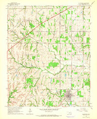
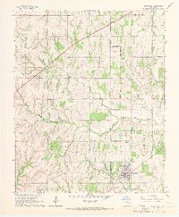
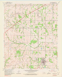
Editions of this 1965 Blanchard Map
5 editions found
Other maps of this area

1893 · Oklahoma City
USGS Topo · 1:62,500

1893 · Minco
USGS Topo · 1:62,500

1904 · Chickasha
USGS Topo · 1:125,000

1954 · Oklahoma City
USGS Topo · 1:250,000

1956 · Oklahoma City
USGS Topo · 1:62,500

1956 · Oklahoma City SE
USGS Topo · 1:24,000

1957 · Oklahoma City
USGS Topo · 1:250,000

1963 · Oklahoma City
USGS Topo · 1:250,000
1965 · Newcastle
USGS Topo · 1:24,000
1965 · Cole
USGS Topo · 1:24,000