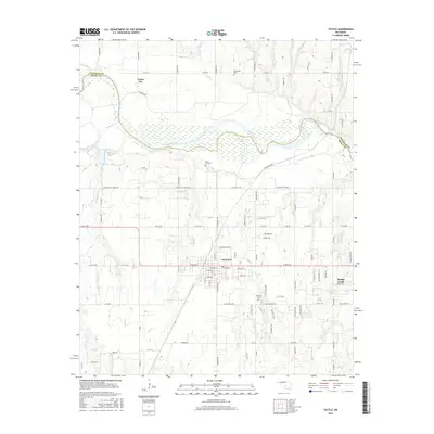
2016 Map of Tuttle
USGS Topo · Published 2016About this map
The Canadian River meanders across this landscape, defining the jagged border between Canadian and Grady counties. The community of Tuttle sits centrally, showing a developed street grid including W Main St and E Main St, surrounded by rural road networks like N Cimarron Rd and S Gregory Rd. The map provides significant genealogical value through its documentation of local burial grounds, including Riverside Cem, Silver City Cem, and Fairview Cem, which anchor the area's history of settlement. To the northeast, the outskirts of Union City appear, while Bridge Creek is situated in the southeast corner. The terrain is deeply etched by a network of waterways such as Snake Cr, Store Cr, and West Cr, which feed toward the main river channel. Smaller landmarks like Fisher Lake and family-named routes like Braums Rd offer specific touchpoints for local researchers.
Find a feature on this map
96 named features on this map. Tap any name to fly to it.
Don’t see what you’re looking for? This feature index may not catch every label — zoom into the map to look around manually.
Map Details
Editions of this 2016 Tuttle Map
This is the sole edition of this map. No revisions or reprints were ever made.
Other maps of this area
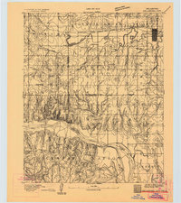
1893 · Oklahoma City
USGS Topo · 1:62,500
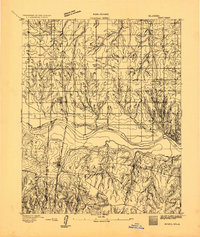
1893 · Minco
USGS Topo · 1:62,500
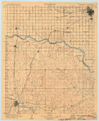
1904 · Chickasha
USGS Topo · 1:125,000
1954 · Oklahoma City
USGS Topo · 1:250,000
1956 · Oklahoma City
USGS Topo · 1:62,500
1957 · Oklahoma City
USGS Topo · 1:250,000
1963 · Oklahoma City
USGS Topo · 1:250,000
1965 · Blanchard
USGS Topo · 1:24,000
1965 · Oklahoma City SW
USGS Topo · 1:24,000
1966 · Minco NE
USGS Topo · 1:24,000