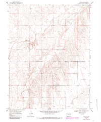
1969 Map of Tuttle
USGS Topo · Published 1985About this map
South Fork Republican River defines the drainage pattern of this Kit Carson County landscape, where the high plains are carved by intermittent watercourses like Spring Creek and Dry Gulch. The small settlement of Tuttle sits in the northeastern corner, serving as a rare point of concentrated habitation in an otherwise open ranching or farming region. A complex network of numerous unnamed wells and localized industrial activity, such as a Gravel Pit, suggests a reliance on groundwater and local materials to support the area's rural economy. This 1969 survey, which includes purple revisions from 1980 aerial photography, documents the subtle shift in land use and infrastructure, including the placement of landmarks like BR 4198, during a period of transition for eastern Colorado's agricultural frontier.
Find a feature on this map
9 named features on this map. Tap any name to fly to it.
Don’t see what you’re looking for? This feature index may not catch every label — zoom into the map to look around manually.
Map Details
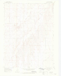
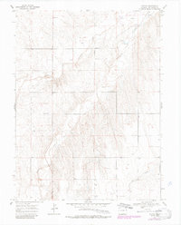
Editions of this 1969 Tuttle Map
4 editions found
Other maps of this area

1954 · Limon
USGS Topo · 1:250,000

1957 · Limon
USGS Topo · 1:250,000

1958 · Limon
USGS Topo · 1:250,000

1969 · Settlement
USGS Topo · 1:24,000

1969 · Tuttle
USGS Topo · 1:24,000

1969 · Bethune
USGS Topo · 1:24,000

1969 · Idalia SW
USGS Topo · 1:24,000

1969 · Kirk
USGS Topo · 1:24,000

1969 · Stratton
USGS Topo · 1:24,000
1978 · Joes SW
USGS Topo · 1:24,000