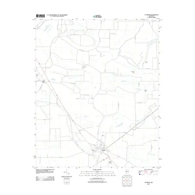
2012 Map of Tutwiler
USGS Topo · Published 2012About this map
The town of Tutwiler and the smaller community of Dublin anchor this Tallahatchie County landscape, defined by the low-lying drainage patterns of the Mississippi Delta. Numerous cemeteries—including Rosemound Cem, Philadelphia Cem, Hebrew Cem, and Galena Cem—are dispersed throughout the quadrangle, often marking the historic settlements and family sites of this agricultural region. The intricate network of bayous and sloughs, such as Walnut Bayou, Muddy Bayou, and Long Dam Slough, illustrates the complex hydrology of the area, while the Upper Quiver River meanders through the southeastern portion of the sheet. The presence of the Flying Y Service Airport south of Tutwiler highlights the ongoing connection between local aviation and large-scale farming operations in the modern era.
Find a feature on this map
57 named features on this map. Tap any name to fly to it.
Don’t see what you’re looking for? This feature index may not catch every label — zoom into the map to look around manually.
Map Details
Editions of this 2012 Tutwiler Map
This is the sole edition of this map. No revisions or reprints were ever made.
Other maps of this area

1931 · Sumner
USGS Topo · 1:48,000

1931 · Drew
USGS Topo · 1:48,000

1932 · Tutwiler
USGS Topo · 1:48,000

1935 · Clarksdale
USGS Topo · 1:62,500

1935 · Sumner
USGS Topo · 1:62,500

1935 · Tutwiler
USGS Topo · 1:62,500

1935 · Mound Bayou
USGS Topo · 1:62,500

1939 · Sumner
USGS Topo · 1:62,500

1939 · Tutwiler
USGS Topo · 1:62,500

1939 · Clarksdale
USGS Topo · 1:62,500