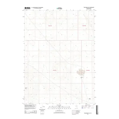
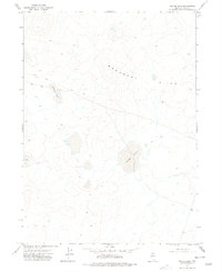
2015 Map of Twelvemile Flat
USGS Topo · Published 2015About this map
Owyhee Desert terrain dominates this corner of Elko County, where the high-altitude landscape is defined by wide expanses of arid flats and isolated rising landforms. The high basin of Twelvemile Flat sits in the southeastern quadrant, a distinct landform located east of the prominent Bartome Knoll. This 2015 survey reflects the enduring character of the Great Basin's remote interior, where the Public Land Survey System grids—including t45n r47e and t46n r48e—provide the primary structural framework across a region with virtually no modern infrastructure or permanent settlements. The map detail highlights the subtle topographic shifts between the sagebrush flats and the rocky outcrops that characterize this section of northeastern Nevada.
Find a feature on this map
7 named features on this map. Tap any name to fly to it.
Don’t see what you’re looking for? This feature index may not catch every label — zoom into the map to look around manually.
Map Details
Editions of this 2015 Twelvemile Flat Map
This is the sole edition of this map. No revisions or reprints were ever made.
Other maps of this area

1955 · McDermitt
USGS Topo · 1:250,000

1959 · McDermitt
USGS Topo · 1:250,000
1973 · Star Valley Ridge East
USGS Topo · 1:24,000
1973 · Corral Lake
USGS Topo · 1:24,000
1973 · Rubber Hill
USGS Topo · 1:24,000
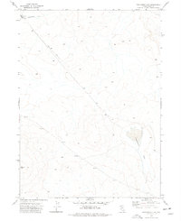
1973 · Twelvemile Flat
USGS Topo · 1:24,000
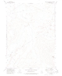
1973 · Star Valley Ridge SE
USGS Topo · 1:24,000
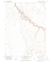
1974 · Twelvemile Flat SE
USGS Topo · 1:24,000
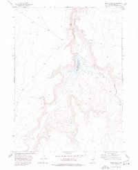
1974 · Desert Ranch
USGS Topo · 1:24,000
1977 · Silver Lake
USGS Topo · 1:24,000