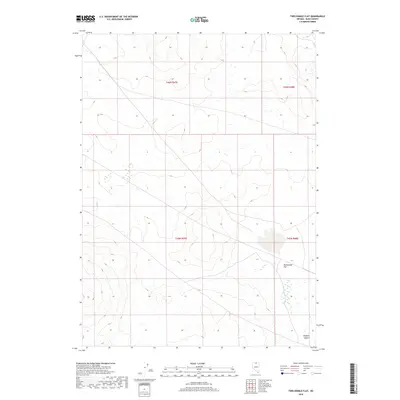
2018 Map of Twelvemile Flat
USGS Topo · Published 2018About this map
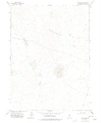
Owyhee Desert terrain defines this high-plateau landscape in northern Nevada, characterized by the expansive arid basin of Twelvemile Flat. This 2018 survey reveals a territory primarily shaped by public land survey systems and seasonal hydrologic patterns rather than permanent settlements or industrial development. The intricate contour lines illustrate a series of low ridges and drainages that feed into the flat, which serves as a natural collection point for seasonal runoff in this remote corner of Elko County. The map is primarily an exercise in topography and land management, showing the intersection of several townships including t46n r47e, t46n r48e, t45n r47e, and t45n r48e. For those studying the geography of the Great Basin, this map provides the exact coordinates of a landscape where human footprints are largely limited to primitive roads and section lines.
Find a feature on this map
6 named features on this map. Tap any name to fly to it.
Don’t see what you’re looking for? This feature index may not catch every label — zoom into the map to look around manually.
Map Details
Editions of this 2018 Twelvemile Flat Map
This is the sole edition of this map. No revisions or reprints were ever made.
Other maps of this area

1955 · McDermitt
USGS Topo · 1:250,000

1959 · McDermitt
USGS Topo · 1:250,000
1973 · Star Valley Ridge East
USGS Topo · 1:24,000
1973 · Corral Lake
USGS Topo · 1:24,000
1973 · Rubber Hill
USGS Topo · 1:24,000
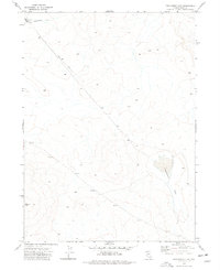
1973 · Twelvemile Flat
USGS Topo · 1:24,000
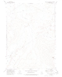
1973 · Star Valley Ridge SE
USGS Topo · 1:24,000
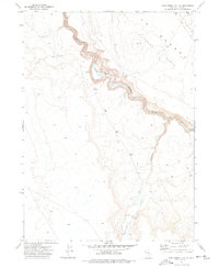
1974 · Twelvemile Flat SE
USGS Topo · 1:24,000
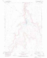
1974 · Desert Ranch
USGS Topo · 1:24,000
1977 · Silver Lake
USGS Topo · 1:24,000