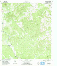
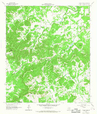
1969 Map of Twin Hollow
USGS Topo · Published 1992About this map
The rugged Edwards Plateau terrain along the Bandera Co Medina Co line is defined by a series of critical water sources essential for livestock and settlement. In an area where water is life, several named pools along Hondo Creek provide reliable access, including Two Pecan Waterhole, Barnes Bluff Waterhole, Wide Crossing Waterhole, and Mustang Waterhole. These features, often associated with natural landmarks like Barnes Bluff and Eagle Bluff, illustrate the historical reliance on creek-bed hydrology in this portion of the Texas Hill Country.
Find a feature on this map
19 named features on this map. Tap any name to fly to it.
Don’t see what you’re looking for? This feature index may not catch every label — zoom into the map to look around manually.
Map Details
Editions of this 1969 Twin Hollow Map
Other maps of this area

1954 · San Antonio
USGS Topo · 1:250,000

1956 · Sabinal
USGS Topo · 1:62,500

1956 · New Fountain
USGS Topo · 1:62,500

1956 · Tarpley
USGS Topo · 1:62,500

1956 · Bandera
USGS Topo · 1:62,500

1957 · San Antonio
USGS Topo · 1:250,000

1964 · Bandera
USGS Topo · 1:24,000

1964 · Timber Creek
USGS Topo · 1:24,000
1964 · Tarpley
USGS Topo · 1:24,000
1964 · Tarpley Pass
USGS Topo · 1:24,000