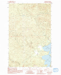
1985 Map of Twin Lakes
USGS Topo · Published 1994About this map
The Colville Indian Reservation encompasses this high-altitude terrain in Ferry County, where the landscape is defined by the prominent Oregon City Ridge and various mountain peaks such as Bitterroot Mtn and Carson Mtn. This 1985 survey captures the area's hydrology and recreational development centered around North Twin Lake and South Twin Lake. Drainage patterns for the region are established by several watercourses, including Lynx Creek, Beaver Dam Creek, and Granite Creek.
Find a feature on this map
17 named features on this map. Tap any name to fly to it.
Don’t see what you’re looking for? This feature index may not catch every label — zoom into the map to look around manually.
Map Details
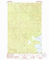
Editions of this 1985 Twin Lakes Map
2 editions found
Other maps of this area

1948 · Wilmont Creek
USGS Topo · 1:62,500

1950 · Wilmont Creek
USGS Topo · 1:62,500

1952 · Keller
USGS Topo · 1:62,500

1952 · Twin Lakes
USGS Topo · 1:62,500

1953 · Seventeenmile Mtn.
USGS Topo · 1:62,500

1954 · Okanogan
USGS Topo · 1:250,000

1956 · Wilmont Creek
USGS Topo · 1:62,500

1958 · Okanogan
USGS Topo · 1:250,000

1984 · Nespelem
USGS Topo · 1:100,000
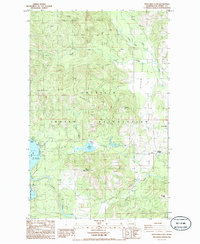
1985 · Moon Mountain
USGS Topo · 1:24,000