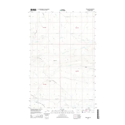
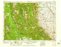
2014 Map of Twin Lakes
USGS Topo · Published 2014About this map
Twin Lakes sit at the center of this Montana landscape, where the high plains meet the eastern slopes of the Rocky Mountains. The hydrology of the region is defined by the Teton River and its intricate network of drainage systems, including Clark Fork Muddy Cr, Blacktail Cr, and Blindhorse Cr. This topographic study reveals a terrain carved by glacial and fluvial action, most notably seen in the depressions of Frenchy Gulf and Chicken Coulee. Local transportation routes like Teton Canyon Rd, Knowlton Rd, and Blackleaf Rd trace the paths of early ranching and agricultural access. The mapping of t26n r8w, t26n r7w, and other townships illustrates the grid-based land management common to the American West, providing a clear view of how water rights and access likely dictated the placement of these thoroughfares across the Teton County landscape.
Find a feature on this map
22 named features on this map. Tap any name to fly to it.
Don’t see what you’re looking for? This feature index may not catch every label — zoom into the map to look around manually.
Map Details
Editions of this 2014 Twin Lakes Map
This is the sole edition of this map. No revisions or reprints were ever made.
Other maps of this area
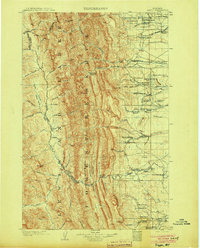
1903 · Saypo
USGS Topo · 1:125,000
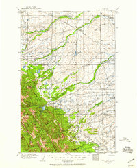
1914 · Heart Butte
USGS Topo · 1:125,000
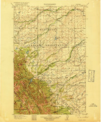
1918 · Heart Butte
USGS Topo · 1:125,000
1920 · Choteau
USGS Topo · 1:125,000
1920 · Dupuyer
USGS Topo · 1:125,000
1936 · Pendroy
USGS Topo · 1:48,000
1941 · Pendroy
USGS Topo · 1:62,500

1955 · Choteau
USGS Topo · 1:250,000

1957 · Choteau
USGS Topo · 1:250,000
1958 · Choteau
USGS Topo · 1:250,000