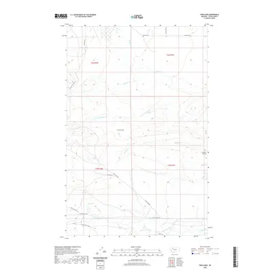
2020 Map of Twin Lakes
USGS Topo · Published 2020About this map
Twin Lakes and the upper reaches of the Teton River anchor the southern portion of this landscape, where the plains of Teton County meet the rising elevations of the Rocky Mountain Front. The drainage network is particularly dense, with Muddy Cr, Blacktail Cr, and Rinker Cr carving distinct paths across the terrain. These watercourses are complemented by landforms like Frenchy Gulf and Chicken Coulee, which suggest the erosion patterns typical of this Montana ranching country.
Find a feature on this map
24 named features on this map. Tap any name to fly to it.
Don’t see what you’re looking for? This feature index may not catch every label — zoom into the map to look around manually.
Map Details
Editions of this 2020 Twin Lakes Map
This is the sole edition of this map. No revisions or reprints were ever made.
Other maps of this area

1903 · Saypo
USGS Topo · 1:125,000

1914 · Heart Butte
USGS Topo · 1:125,000

1918 · Heart Butte
USGS Topo · 1:125,000

1920 · Choteau
USGS Topo · 1:125,000

1920 · Dupuyer
USGS Topo · 1:125,000

1936 · Pendroy
USGS Topo · 1:48,000

1941 · Pendroy
USGS Topo · 1:62,500

1955 · Choteau
USGS Topo · 1:250,000

1957 · Choteau
USGS Topo · 1:250,000

1958 · Choteau
USGS Topo · 1:250,000