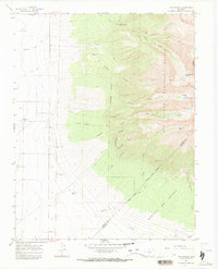
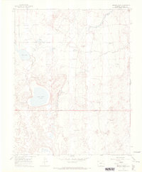
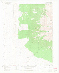
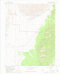
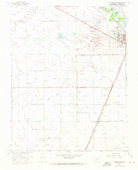
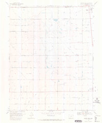
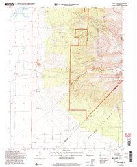
1965 Map of Twin Peaks
USGS Topo · Published 1968This historical map portrays the area of Twin Peaks in 1965, primarily covering Alamosa County as well as portions of Huerfano County and Costilla County. Featuring a scale of 1:24000, this map provides a highly detailed snapshot of the terrain, roads, buildings, counties, and historical landmarks in the Twin Peaks region at the time. Published in 1968, it is one of 3 known editions of this map due to revisions or reprints.
Find a feature on this map
41 named features on this map. Tap any name to fly to it.
Don’t see what you’re looking for? This feature index may not catch every label — zoom into the map to look around manually.
Map Details
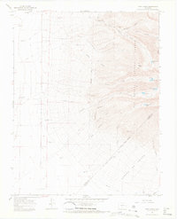
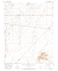
Editions of this 1965 Twin Peaks Map
3 editions found
Historical Maps of Huerfano County Through Time
12 maps found
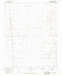
1965 Baldy
Alamosa County, CO
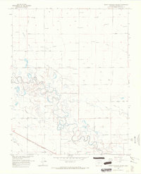
1965 Dry Lakes
Alamosa County, CO
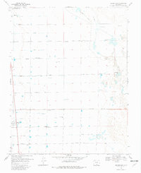
1965 Medano Ranch
Alamosa County, CO
1965 Twin Peaks
Alamosa County, CO
1965 Zapata Ranch
Alamosa County, CO
1966 Alamosa West
Alamosa County, CO
1966 Hooper SE
Alamosa County, CO
1966 Mount Pleasant School
Alamosa County, CO
1968 Hooper East
Alamosa County, CO
1968 Hooper West
Alamosa County, CO
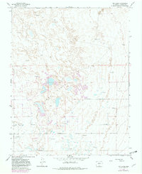
2001 Twin Peaks
Alamosa County, CO
2001 Zapata Ranch
Alamosa County, CO